Oregon
24 historic pictures in the Oregon collection, in 2 sections, part of Cities. Each one can be ordered as a print or licensed, and the collection is a starting point for telling stories about the past.
Open the interactive boardPortland, Oregon, got its name from a coin toss. In 1845 the 2 men who owned the land, Asa Lovejoy of Boston and Francis Pettygrove of Portland, Maine, each wanted to name the new town after home. Pettygrove won 2 out of 3 flips. The penny they used is still kept at the Oregon Historical Society.
Oregon was the end of the trail for the largest overland migration in American history. Starting in the early 1840s, thousands of families loaded wagons in Missouri and spent 4 to 6 months crossing the plains and mountains to reach the Willamette Valley, where the soil was said to be the best in the West. Many died along the way. Lewis and Clark had come first, reaching the Pacific in 1805 and spending a wet winter at Fort Clatsop near the mouth of the Columbia. Portland marked the 100th anniversary with a world's fair, the Lewis and Clark Centennial Exposition, in 1905.
Portland grew as a port, shipping wheat and lumber from the interior down the Willamette and the Columbia to the sea. Timber was the backbone of the state's economy for a century, and photographs of loggers standing beside enormous felled firs are a regular part of the Oregon record. At Astoria, salmon canneries lined the river.
The Columbia River Highway, built through the Gorge in the 1910s, was one of the first scenic highways in the country, designed so that drivers could stop at waterfalls like Multnomah Falls. Crater Lake, filling the caldera of a collapsed volcano, became a national park in 1902. Its deep blue water looks unreal even in black and white.
In the logging pictures, look at the people. Photographers liked to pose a whole crew on a single stump or along one log, and it was not a trick. Some of the old-growth trees in the Pacific Northwest were 10 feet or more across, and putting the men in the picture was the only way to show it.
Oregon
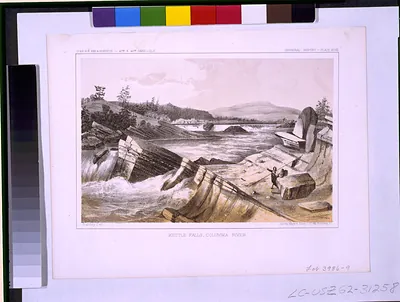 Kettle Falls, Columbia River / Stanley Del ; Sarony, Major & Knapp, Lith. ([1855])
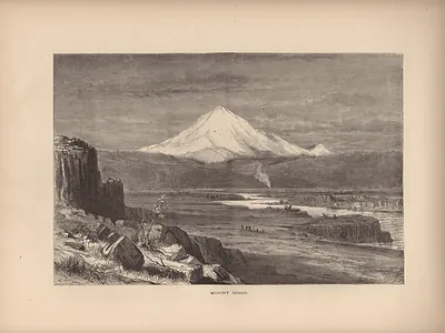 Mount Hood
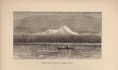 Mount Ranier, from the Columbia River
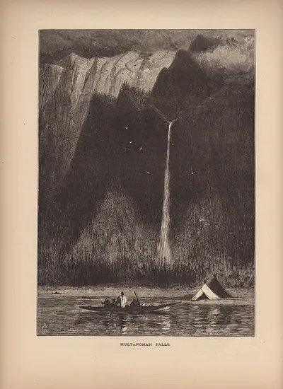 Multanomah Falls
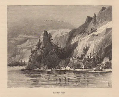 Rooster Rock, engraved view of cliffs above water
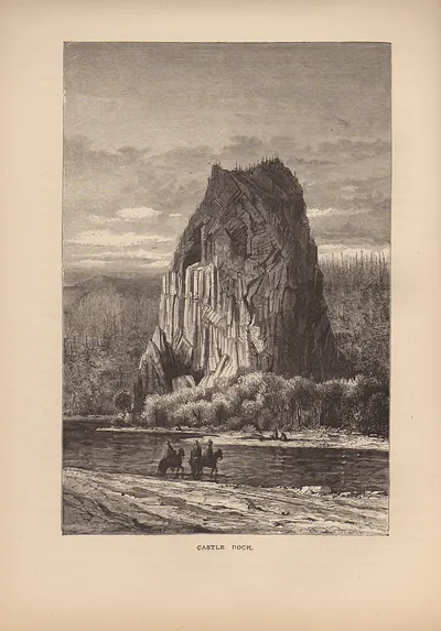 Castle Rock
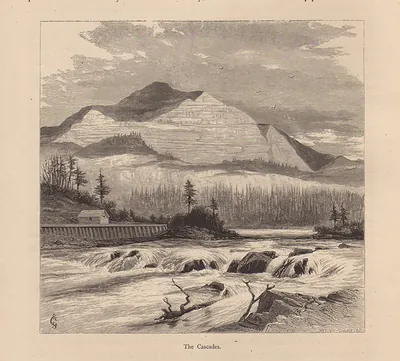 The Cascades
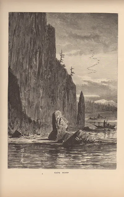 Cape Horn
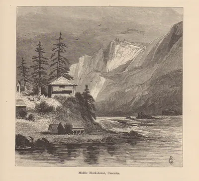 Middle Block-house, Cascades
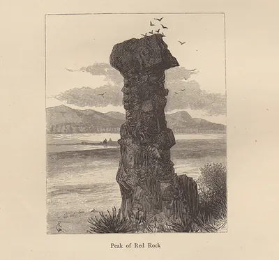 Peak of Red Rock
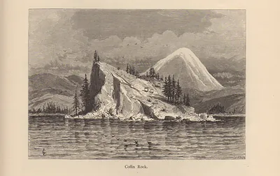 Coffin Rock, engraved island with trees and a snowy peak
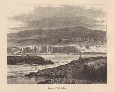 Passage of the Dalles, engraved river landscape view
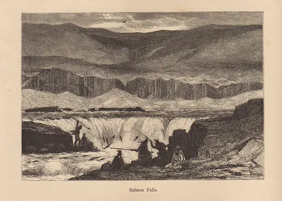 Salmon Falls: Native fishermen spearing salmon at waterfall
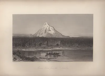 Mount Hood from the Columbia
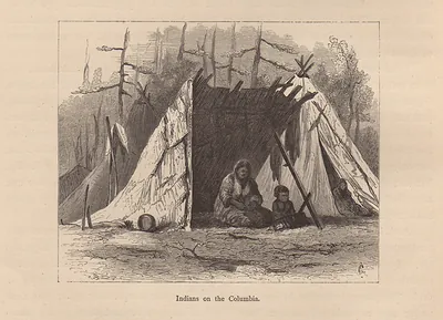 Indians on the Columbia
Portland OR
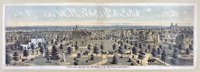 Portland, Oregon - the metropolis of the Pacific Northwest / C.L. Smith. (c1888 May 17.)
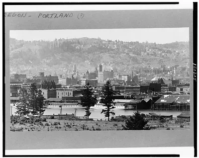 [View of Portland, Oregon] (c1898.)
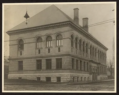 [Portland Library Association, Portland, Oregon] ([ca.1893])
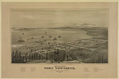 Bird's eye view of Port Townsend, Puget Sound, Washington Territory. From the north-east. (Portland, Ore. : E.S)
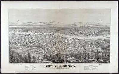 Portland, Oregon, population 22,000, looking east to the Cascade Mountains / drawn and pub (: [S.l.] : Published)
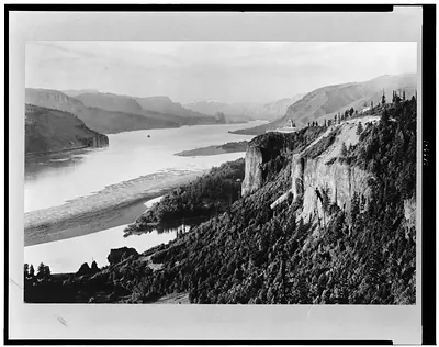 [Columbia River, Oregon, Showing Crown Point and Vista House] (c1916.)
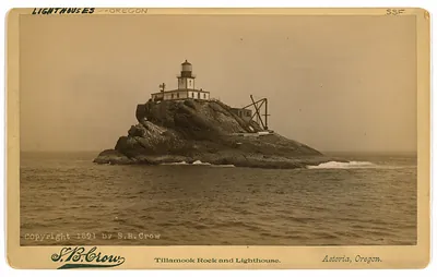 Tillamook Rock and lighthouse / S. B. Crow, Astoria, Oregon. (c1891.)
 Hotel Moore, Tillamook Head, Seaside, Oregon (c1914.)
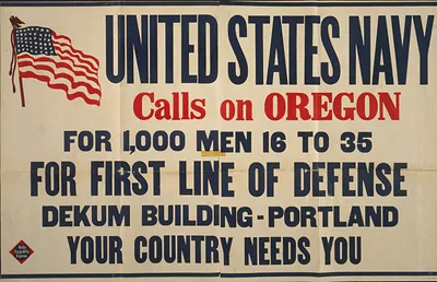 United States Navy calls on Oregon [...] ([1917])