Governors Island National Monument
18 historic pictures in the Governors Island National Monument collection, part of Landmarks. Each one can be ordered as a print or licensed, and the collection is a starting point for telling stories about the past.
Open the interactive boardGovernors Island sits in New York Harbor just a few hundred yards off the tip of Manhattan, and for most of its history ordinary New Yorkers could not set foot on it. For nearly 2 centuries it was a military post. The Dutch arrived there early. In 1624, settlers of New Netherland landed on the island, which the Dutch called Nut Island for its trees. Under English rule it was kept for the use of the colonial governors, and that is where the name comes from.
Its location made it valuable for defense. Fort Jay, a star-shaped fort, was built on the high ground after the Revolution. Castle Williams, a round red sandstone fort on the island's edge, was finished around 1811 and was meant to work together with Castle Clinton across the water in Manhattan to cover the harbor. It never fired on an enemy. During the Civil War it was used to hold Confederate prisoners.
The Army stayed for a long time, and the island became a pleasant little town with officers' houses, barracks, a chapel and parade grounds. It also grew. In the early 1900s, rock and soil dug out for New York's subway tunnels were used to enlarge the island to the south, more than doubling its size.
Governors Island had a part in early aviation too. In 1909, during the Hudson-Fulton Celebration, Wilbur Wright took off from the island and flew around the Statue of Liberty and up the Hudson River, in front of huge crowds on shore.
The Army left in 1966 and the Coast Guard took over until 1996. In 2001, the 2 historic forts and the land around them became Governors Island National Monument, and the island has since been opened to the public. When you look at pictures of the island, notice how close it is to the Manhattan skyline. Soldiers posted there lived in a quiet village with lawns and shade trees while the busiest city in the country rose up just across the water.
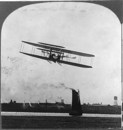 Wilbur Wright flying over Governor's Island, New York (c1925 Apr. 7.)
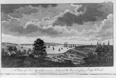 A view of New York, Governors Island, the river &c. from Long Island ([London] : Published)
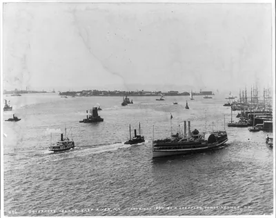 Governors Island, East River, N.Y. (c1897.)
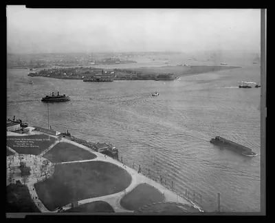 Battery Park & Governers [sic] Island, from Whitehall Bldg. (c1911.)
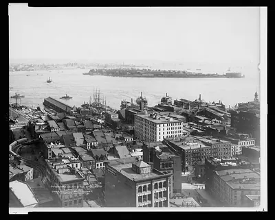 Governers [sic] Island & The Narrows (c1901.)
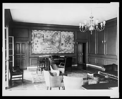 [Mural by Tom Leftin Johnson in reception room(?) on Governor's Island, New York] (New York : Federal A)
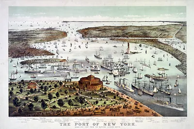 The Port of New York--Birds eye view from the Battery, looking south (New York : Published)
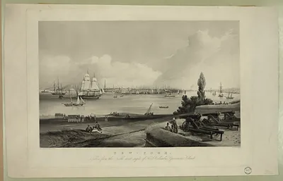 New-York, taken from the North west angle of Fort Columbus, Governors Island
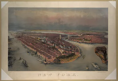 Bird's-eye view of New York, lithograph with 'NEW YORK' lettering
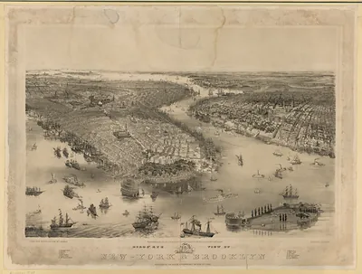 Bird's-eye view of New-York & Brooklyn
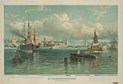 New York Harbor with Brooklyn Bridge
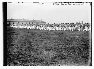 7th Reg. Garden Party, Governors Island, marching troops
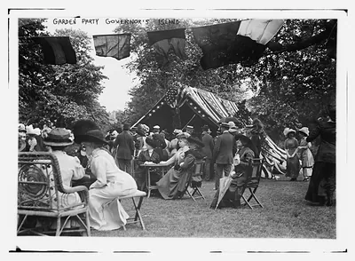 Garden party on Governor's Island with flags and guests
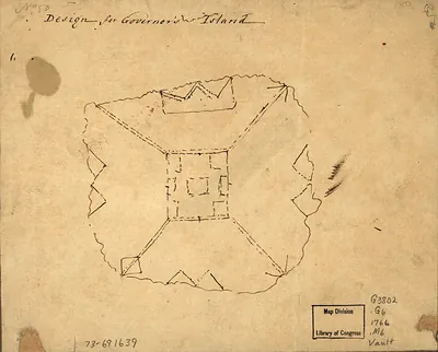 ar114200Design for Governor's Island
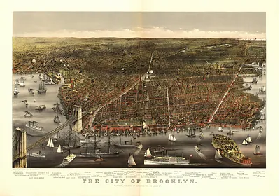 The City of Brooklyn, bird's-eye view map (1879)
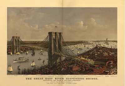 Grand Bird's Eye View of the Great East River Suspension Bridge (1895)
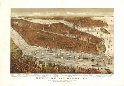 NY New York (1877)
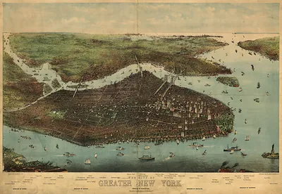 Bird's-eye color map of the City of Greater New York (1905)