New York
17 historic pictures in the New York collection, part of Cities. Each one can be ordered as a print or licensed, and the collection is a starting point for telling stories about the past.
Open the interactive boardThe Erie Canal made New York the Empire State. When it opened in 1825, it ran 363 miles from Albany on the Hudson to Buffalo on Lake Erie, and suddenly goods could move by water from the Great Lakes to New York harbor. Freight costs fell sharply. Towns along the route like Syracuse, Rochester and Utica grew into cities, and New York City pulled ahead of every other port in the country.
The city is what most people picture. By 1900 it was the largest city in the country, and it was photographed constantly. The Brooklyn Bridge opened in 1883 with the longest suspension span in the world. Ellis Island opened in 1892 and processed millions of immigrants over the next several decades. The skyline began to climb with buildings like the Flatiron in 1902 and the Woolworth in 1913, and then the Chrysler and the Empire State at the start of the 1930s.
There was another city underneath. Jacob Riis, a police reporter, used flash photography to show the crowded tenements of the Lower East Side in his 1890 book How the Other Half Lives. Lewis Hine later photographed immigrants at Ellis Island and children at work on city streets. Their pictures and the postcards of the grand avenues are records of the same place.
The state beyond the city is just as photogenic. The Hudson River valley, with its cliffs and estates, inspired a whole school of painters. The Adirondacks became a wilderness retreat, with great camps built by rich families, and the state protected much of it as a forest preserve in 1885. Niagara Falls drew honeymooners, daredevils and photographers from the start. In 1885 New York created the Niagara Reservation, one of the first state parks in the country, to clear away the mills and tourist traps crowding the falls.
In pictures of Manhattan streets, look at the overhead trains. Elevated railways ran along several avenues from the 1870s, and their steel frames darkened the streets below. Most of them were torn down by the 1950s.
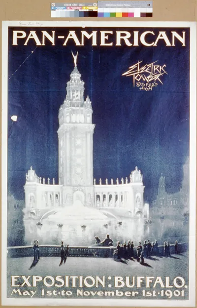 Pan-American Exposition: Buffalo (Buffalo : Courier Li)
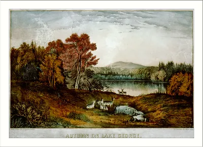 Autumn on Lake George ([New York] : Currier)
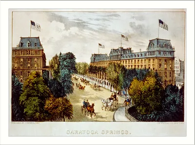 Saratoga Springs (New York : Published)
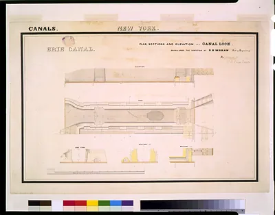 [Erie Canal (New York) Lock. Plan, sections, and elevation] / drawn under the direction of (and Engineering (ADE)
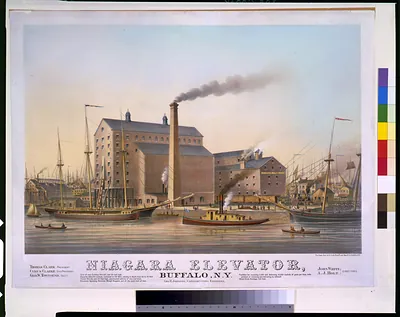 Niagara elevator, Buffalo, N.Y. / Sage, Sons & Co. Lith. Print'g and Man'fg Co., Buffalo, (Buffalo, N.Y. : Sage)
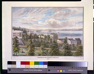 Aurora, N.Y. from the North Poplars" / drawn by H.W.P. ; lith. of Richd. H. Pease (LC-USZC4-3242 (color)
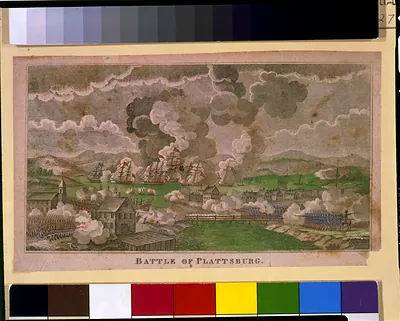 Battle of Plattsburg ([1814?])
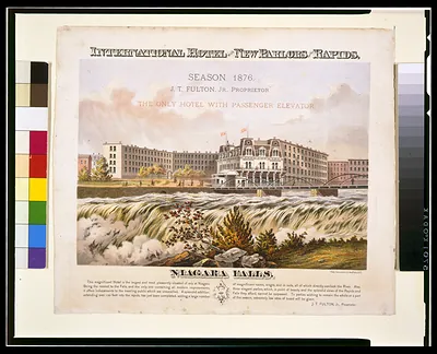 International Hotel with new parlors on the rapids, Niagara Falls ([1876])
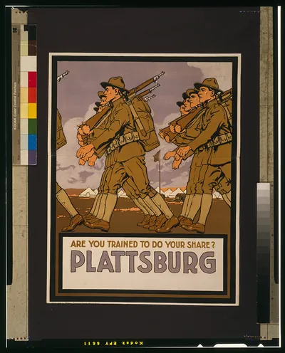 Are you trained to do your share? Plattsburg [sic] ([1917])
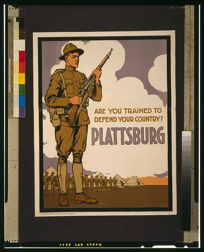 Are you trained to defend your country? Plattsburg [sic] ([1917])
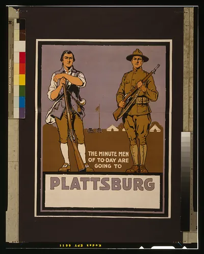 The minute men of to-day are going to Plattsburg [sic] ([1917])
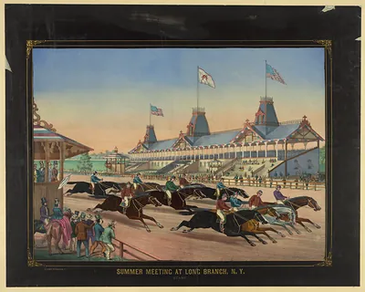 Summer Meeting at Long Branch, N.Y. Start
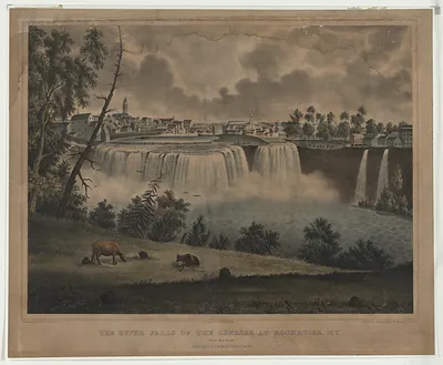 The Upper Falls of the Genesee at Rochester, N.Y.
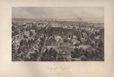 NY City of Buffalo
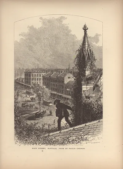 Main Street, Buffalo, from St Paul's Church
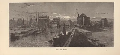 Ship-Canal, Buffalo
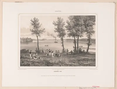 Saratoga Lake