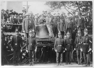
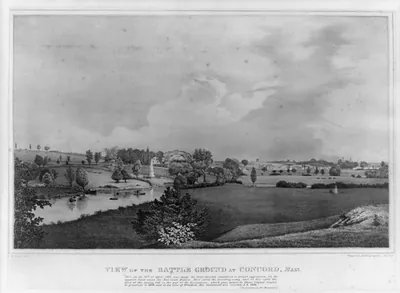
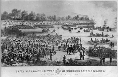
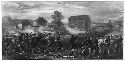
3 a 07667_Viewof Bunker Hillmonument June 17.tif, Massachusetts – Antique Map Print

(Each image is professionally and digitally cleaned of artifacts such as color bars and extra borders prior to printing.)
Description
This antique map of 3 a 07667_Viewof Bunker Hillmonument June 17.tif, Massachusetts brings a moment of history to your wall. Drawn from the Snapshots of the Past archive, it is an authentic piece of documented history.
Choose the framed print, ready to hang the day it arrives, or the unframed print for a frame of your own. It makes a striking addition to a living room, study or office, and a thoughtful gift. Free shipping in the lower 48 states. Snapshots of the Past has been bringing history to the wall since 2001, for tens of thousands of customers worldwide.
3 a 07667_Viewof Bunker Hillmonument June 17.tif, Massachusetts
Order a print
Thank you. Your order went through, and a receipt is on its way by email.
Secure checkout · SSL encryptedPowered by Stripe and PayPal
Free shipping in the lower 48 states. The checkout page shows the picture, size and price before you pay.
Charlestown, Massachusetts, in the mid-nineteenth century was a shipbuilding and industrial town just across the Charles River from Boston, and it was tied to the memory of the Battle of Bunker Hill, fought on June 17, 1775. The cornerstone of the Bunker Hill Monument was laid on that anniversary in 1825, with the Marquis de Lafayette present and Daniel Webster giving the oration. Granite for the 221-foot obelisk came from Quincy by way of the Granite Railway, an early horse-drawn line that was among the first of its kind in the country. The monument was completed and dedicated on June 17, 1843, and the annual observance drew crowds to the hill each year, making the site a civic landmark for Boston and its neighbors.
| Notes | Bird's-eye view map. |
|---|---|
| Subjects | Panoramic maps--Massachusetts |
| Original scan | 1,500 × 2,281 px · prints to 5 × 8 in at 300 dpi |
| Reference | AMZ-SOTP-HPA-110271 |
More from the Panoramic Maps collection
Snapshots of the Past helps heritage brands, museums, historians and storytellers tell stories with history: historic prints, image licensing and historical storytelling drawn from more than 25 years of research and curation.