3 a 39929_Journeacuteede Lexingtondessine.tif, Massachusetts – Antique Wall Map

(Each image is professionally and digitally cleaned of artifacts such as color bars and extra borders prior to printing.)
Description
This antique map of 3 a 39929_Journeacuteede Lexingtondessine.tif, Massachusetts brings a moment of history to your wall. It is part of the Snapshots of the Past archive, gathered over 25 years of research.
Framed, it is ready for the wall; unframed, it is ready for the frame you choose. It brings character to any room and makes a memorable gift. Free shipping in the lower 48 states. Snapshots of the Past, founded in 2001, has served tens of thousands of customers worldwide.
3 a 39929_Journeacuteede Lexingtondessine.tif, Massachusetts
Order a print
Thank you. Your order went through, and a receipt is on its way by email.
Secure checkout · SSL encryptedPowered by Stripe and PayPal
Free shipping in the lower 48 states. The checkout page shows the picture, size and price before you pay.
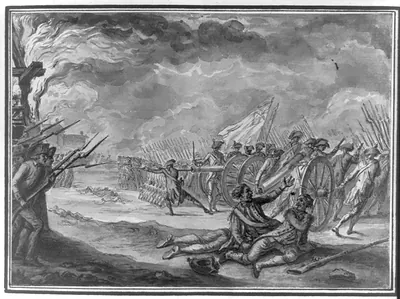
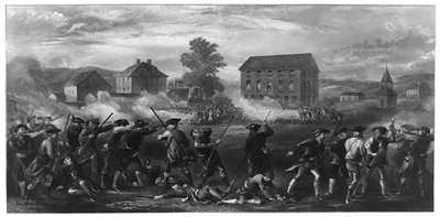
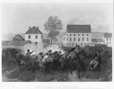
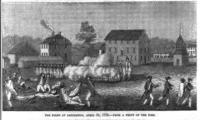
Lexington, Massachusetts, in April 1775 was a farming town on the road between Boston and Concord, where most residents made their living from fields, orchards, and small shops. On the morning of April 19, a company of militia under Captain John Parker gathered on the town common, and British regulars under Major John Pitcairn marched in to confront them. Shots were fired on the green, and eight militiamen were killed in the first clash of the war, a day that people in the region came to call the "shot heard round the world." This French-titled view, "Journée de Lexington," shows that morning's events and the ground where the fighting began.
| Notes | Bird's-eye view map. |
|---|---|
| Subjects | Panoramic maps--Massachusetts |
| Original scan | 3,076 × 3,000 px · prints to 10 × 10 in at 300 dpi |
| Reference | AMZ-SOTP-HPA-118824 |
More from the Panoramic Maps collection
Snapshots of the Past helps heritage brands, museums, historians and storytellers tell stories with history: historic prints, image licensing and historical storytelling drawn from more than 25 years of research and curation.