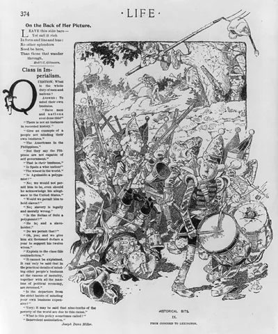
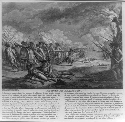
3 a 11211_Thebattleof Lexington.tif, Massachusetts – Antique Map Print

(Each image is professionally and digitally cleaned of artifacts such as color bars and extra borders prior to printing.)
Description
Step back in time with 3 a 11211_Thebattleof Lexington.tif, Massachusetts, an antique map rich in period detail. It comes from the Snapshots of the Past collection, curated over 25 years for its historical value.
Order it framed and ready to hang, or unframed to match a frame you already love. A fine choice for anyone who loves history, and a gift that gets noticed. Free shipping in the lower 48 states. Snapshots of the Past has been bringing history to the wall since 2001, for tens of thousands of customers worldwide.
3 a 11211_Thebattleof Lexington.tif, Massachusetts
Order a print
Thank you. Your order went through, and a receipt is on its way by email.
Secure checkout · SSL encryptedPowered by Stripe and PayPal
Free shipping in the lower 48 states. The checkout page shows the picture, size and price before you pay.
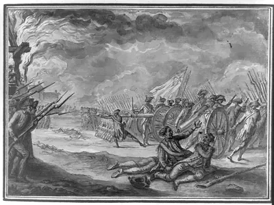
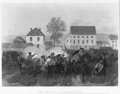
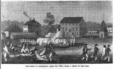
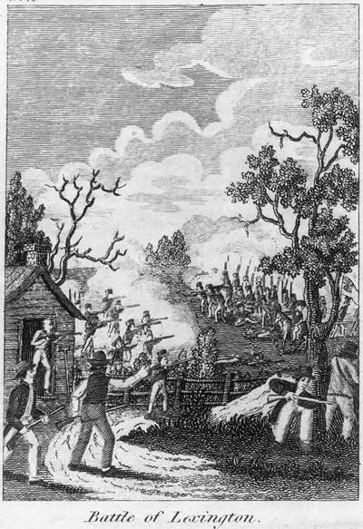
Lexington, Massachusetts, in April 1775 was a small farming town on the road between Boston and Concord, where most households worked their own land and shared the town common for grazing and gatherings. On the morning of April 19, 1775, a company of militia assembled on the green as British regulars, marching toward Concord to seize colonial military stores, arrived. A shot, whose source has never been settled, was followed by a volley that killed eight militiamen and wounded others, and the fighting then spread along the road to Concord and back toward Boston. The town's men had been training with their militia for months, and Lexington later remembered the green as the place where the war's first deaths occurred, a memory it kept alive with monuments there.
| Notes | Bird's-eye view map. |
|---|---|
| Subjects | Panoramic maps--Massachusetts |
| Original scan | 4,267 × 2,100 px · prints to 14 × 7 in at 300 dpi |
| Reference | AMZ-SOTP-HPA-111280 |
More from the Panoramic Maps collection
Snapshots of the Past helps heritage brands, museums, historians and storytellers tell stories with history: historic prints, image licensing and historical storytelling drawn from more than 25 years of research and curation.