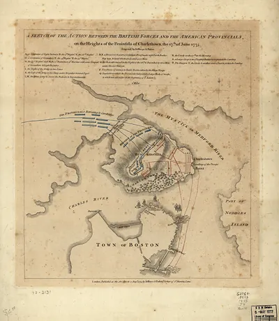
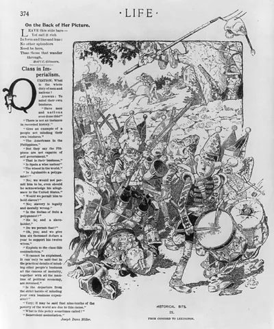
3 b 17484_Liberty Bellat Bunker Hill Boston J.tif, Massachusetts – Historic Map Reproduction

(Each image is professionally and digitally cleaned of artifacts such as color bars and extra borders prior to printing.)
Description
This antique map of 3 b 17484_Liberty Bellat Bunker Hill Boston J.tif, Massachusetts brings a moment of history to your wall. Drawn from the Snapshots of the Past archive, it is an authentic piece of documented history.
The framed print arrives ready to hang; the unframed option suits custom framing. Perfect for a home, office, library or classroom wall, and a gift with a story behind it. Free shipping in the lower 48 states. Snapshots of the Past, founded in 2001, has served tens of thousands of customers worldwide.
3 b 17484_Liberty Bellat Bunker Hill Boston J.tif, Massachusetts
Order a print
Thank you. Your order went through, and a receipt is on its way by email.
Secure checkout · SSL encryptedPowered by Stripe and PayPal
Free shipping in the lower 48 states. The checkout page shows the picture, size and price before you pay.
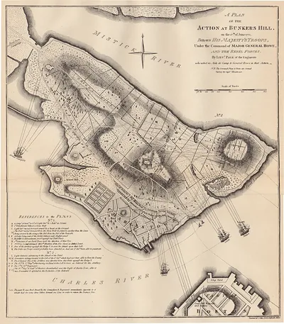
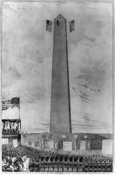
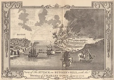
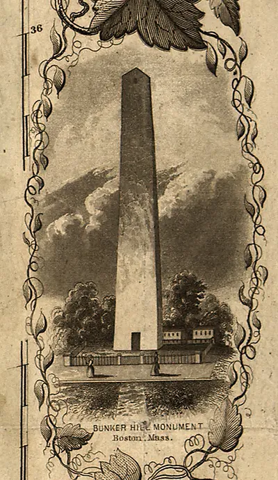
Boston and neighboring Charlestown in the early twentieth century were busy port and manufacturing communities, with shipping, rail yards, and shoe and textile work drawing laborers from across New England and from Ireland, Italy, and French Canada. On Breed's Hill in Charlestown, the granite obelisk of the Bunker Hill Monument, dedicated in 1843, marked the 1775 battle, and Bostonians regarded the ground as their city's most sacred patriotic site. The Liberty Bell traveled to many American cities during this period, and a visit that placed the Philadelphia relic beside the monument linked two symbols of the Revolution. Residents would have known the scene as a civic occasion, with flags, speeches, and crowds gathered at the foot of the shaft.
| Notes | Bird's-eye view map. |
|---|---|
| Subjects | Panoramic maps--Massachusetts |
| Original scan | 2,059 × 1,500 px · prints to 7 × 5 in at 300 dpi |
| Reference | AMZ-SOTP-HPA-143814 |
More from the Panoramic Maps collection
Snapshots of the Past helps heritage brands, museums, historians and storytellers tell stories with history: historic prints, image licensing and historical storytelling drawn from more than 25 years of research and curation.