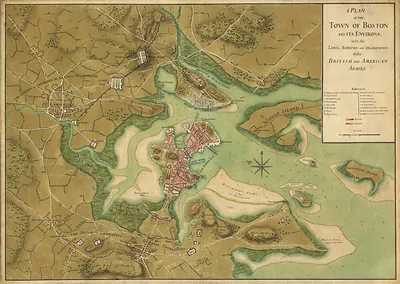
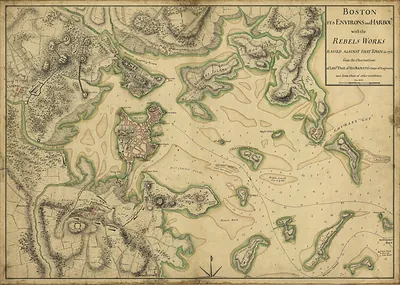
Bunker Hill Attack, Massachusetts, 1775 – Antique Map Print

(Each image is professionally and digitally cleaned of artifacts such as color bars and extra borders prior to printing.)
Description
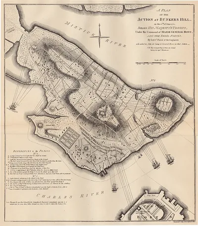
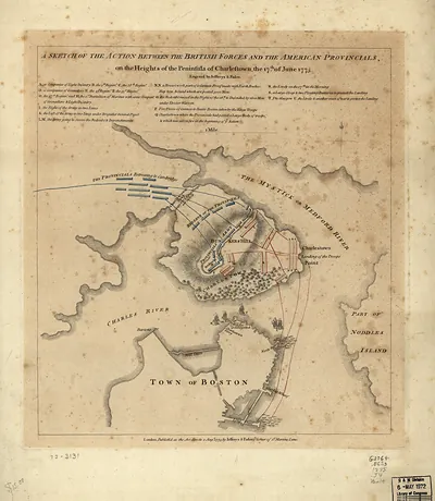
Bunker Hill Attack, Massachusetts, 1775 comes to life in this antique map, reproduced from the original with every detail intact. It comes from the Snapshots of the Past collection, curated over 25 years for its historical value.
The framed print arrives ready to hang; the unframed option suits custom framing. Perfect for a home, office, library or classroom wall, and a gift with a story behind it. Free shipping in the lower 48 states. Snapshots of the Past has been bringing history to the wall since 2001, for tens of thousands of customers worldwide.
Bunker Hill Attack, Massachusetts, 1775
Order a print
Thank you. Your order went through, and a receipt is on its way by email.
Secure checkout · SSL encryptedPowered by Stripe and PayPal
Free shipping in the lower 48 states. The checkout page shows the picture, size and price before you pay.
Charlestown, Massachusetts, sat on a peninsula across the Charles River from Boston in June 1775, when British troops held the city under siege following the fighting at Lexington and Concord that April. On June 17, American militia dug in on Breed's Hill, and British regulars attacked them in several bloody assaults before the defenders fell back. Much of Charlestown burned during the battle, destroying houses, wharves and businesses that had supported the town's trade. Joseph Warren, a prominent Massachusetts patriot leader, was among the Americans killed. The engagement became known as the Battle of Bunker Hill, though most of the fighting took place on the neighboring Breed's Hill.
| Created / published | 1775 |
|---|---|
| Notes | Bird's-eye view map. |
| Subjects | Panoramic maps--Massachusetts |
| Original scan | 6,600 × 4,610 px · prints to 22 × 15 in at 300 dpi |
| Reference | MA Bunker Hill Attack 1775 |
More from the Panoramic Maps collection
Snapshots of the Past helps heritage brands, museums, historians and storytellers tell stories with history: historic prints, image licensing and historical storytelling drawn from more than 25 years of research and curation.