Boston Town Plan, Massachusetts, 1775 – Vintage Map Wall Art

(Each image is professionally and digitally cleaned of artifacts such as color bars and extra borders prior to printing.)
Description
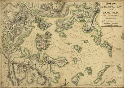
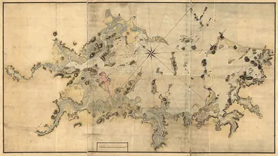
This antique map of Boston Town Plan, Massachusetts, 1775 brings a moment of history to your wall. It is part of the Snapshots of the Past archive, gathered over 25 years of research.
Framed, it is ready for the wall; unframed, it is ready for the frame you choose. Perfect for a home, office, library or classroom wall, and a gift with a story behind it. Free shipping in the lower 48 states. Snapshots of the Past, founded in 2001, has served tens of thousands of customers worldwide.
Boston Town Plan, Massachusetts, 1775
Order a print
Thank you. Your order went through, and a receipt is on its way by email.
Secure checkout · SSL encryptedPowered by Stripe and PayPal
Free shipping in the lower 48 states. The checkout page shows the picture, size and price before you pay.
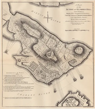
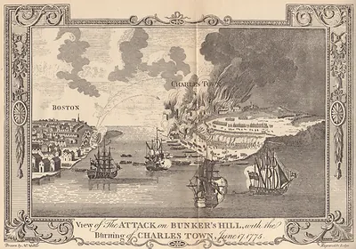
Boston in 1775 was a crowded Atlantic seaport of wharves, counting houses, and shipyards, and it was now under British military control. After the fighting at Lexington and Concord in April, royal troops under General Thomas Gage held the town, while colonial militia encircled it on the landward side and blocked the Neck. Many residents who were loyal to the Crown, or who simply wanted to avoid war, had already left, and the population fell well below its prewar level of roughly 15,000 to 16,000. In June, the fighting at Bunker Hill, across the Charles River in Charlestown, made the siege the central event of the year. Those who remained endured shortages of fuel and food, and merchants watched their overseas trade stall under the blockade.
| Created / published | 1775 |
|---|---|
| Notes | Bird's-eye view map. |
| Subjects | Panoramic maps--Massachusetts |
| Original scan | 7,760 × 5,504 px · prints to 26 × 18 in at 300 dpi |
| Reference | MA Boston Town Plan 1775 |
More from the Panoramic Maps collection
Snapshots of the Past helps heritage brands, museums, historians and storytellers tell stories with history: historic prints, image licensing and historical storytelling drawn from more than 25 years of research and curation.