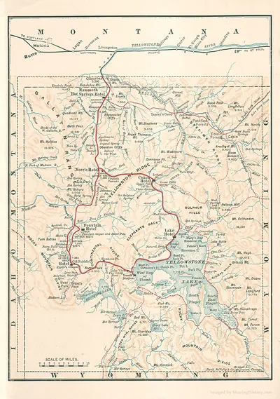
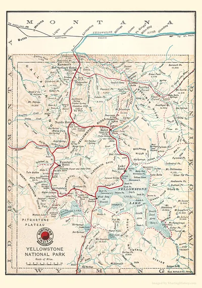
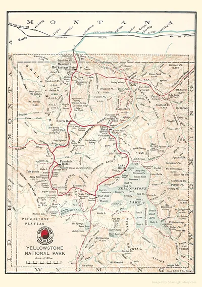
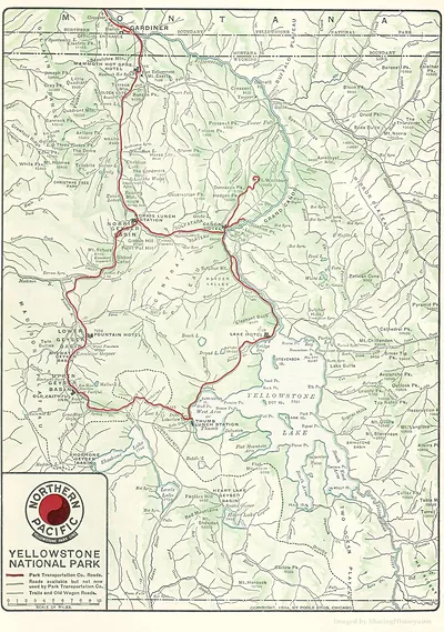
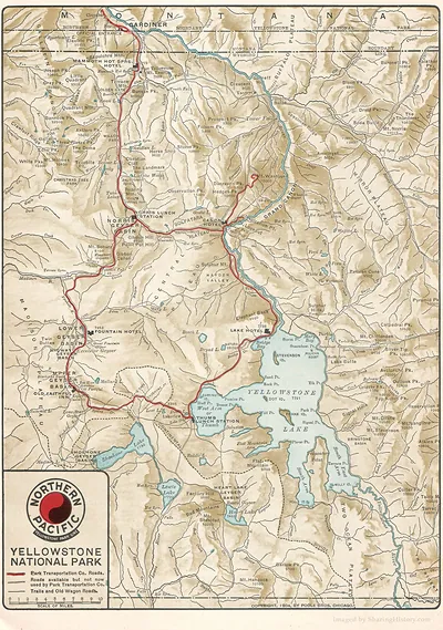
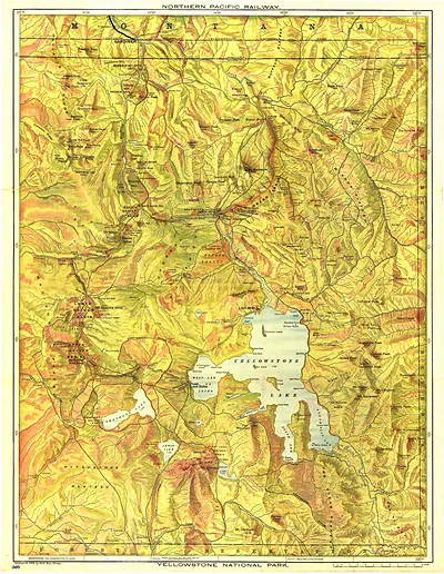
Map of Yellowstone National Park with Montana labels – Antique Map Print

(Each image is professionally and digitally cleaned of artifacts such as color bars and extra borders prior to printing.)
Description
Few images capture their era like this antique map of Map of Yellowstone National Park with Montana labels. Drawn from the Snapshots of the Past archive, it is an authentic piece of documented history.
Order it framed and ready to hang, or unframed to match a frame you already love. A conversation-starting piece for home, office, or as a meaningful gift. Free shipping in the lower 48 states. Since 2001, Snapshots of the Past has shipped historic prints to tens of thousands of customers around the world.
Map of Yellowstone National Park with Montana labels
Order a print
Thank you. Your order went through, and a receipt is on its way by email.
Secure checkout · SSL encryptedPowered by Stripe and PayPal
Free shipping in the lower 48 states. The checkout page shows the picture, size and price before you pay.
Yellowstone's northern edge reaches into Montana, so this map shows a part of the park that many visitors overlook, with its Montana place names set alongside the park's features. Most of the park lies in northwestern Wyoming, but the Montana corner includes the Gardiner entrance and the Gallatin and Absaroka ranges. Congress established Yellowstone in 1872 as the first national park in the United States, and early maps like this one helped travelers and surveyors make sense of its geysers, lakes and mountain passes. Compare the state lines with the park boundary to see how the region was divided on paper.
| Original scan | 2,989 × 2,142 px · prints to 10 × 7 in at 300 dpi |
|---|---|
| Reference | RRR0099z |
More from the Yellowstone collection
Snapshots of the Past helps heritage brands, museums, historians and storytellers tell stories with history: historic prints, image licensing and historical storytelling drawn from more than 25 years of research and curation.