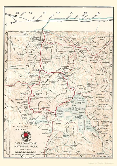
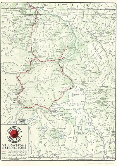
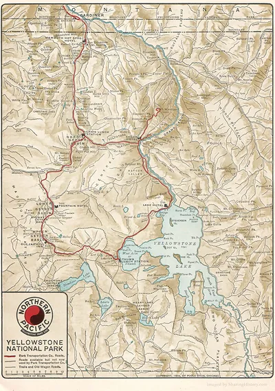
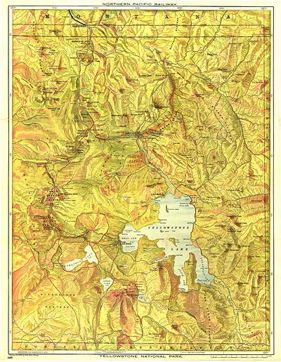
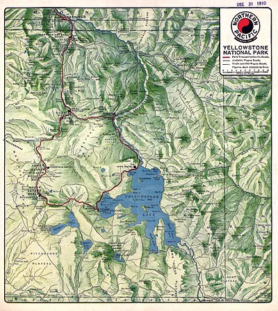
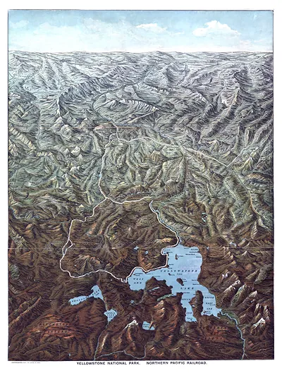
Northern Pacific map of Yellowstone National Park – Vintage Map Wall Art

(Each image is professionally and digitally cleaned of artifacts such as color bars and extra borders prior to printing.)
Description
Step back in time with Northern Pacific map of Yellowstone National Park, an antique map rich in period detail. Drawn from the Snapshots of the Past archive, it is an authentic piece of documented history.
Framed, it is ready for the wall; unframed, it is ready for the frame you choose. It brings character to any room and makes a memorable gift. Free shipping in the lower 48 states. Snapshots of the Past, founded in 2001, has served tens of thousands of customers worldwide.
Northern Pacific map of Yellowstone National Park
Order a print
Thank you. Your order went through, and a receipt is on its way by email.
Secure checkout · SSL encryptedPowered by Stripe and PayPal
Free shipping in the lower 48 states. The checkout page shows the picture, size and price before you pay.
The railroad's own promotional map of Yellowstone sets this piece apart from ordinary survey maps. Northern Pacific Railway used the park's scenery to sell rail travel to the Northwest, and its material often called Yellowstone "Wonderland." Yellowstone had been set aside as the first national park in 1872, and railroad companies helped make it a destination by printing guides and maps like this one for travelers. Look at how the map highlights geysers, lakes, and access routes, since those choices reveal what the railway wanted visitors to see and how they were expected to reach it.
| Original scan | 1,890 × 2,690 px · prints to 6 × 9 in at 300 dpi |
|---|---|
| Reference | RRC0060c |
More from the Yellowstone collection
Snapshots of the Past helps heritage brands, museums, historians and storytellers tell stories with history: historic prints, image licensing and historical storytelling drawn from more than 25 years of research and curation.