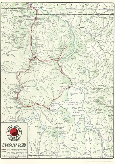
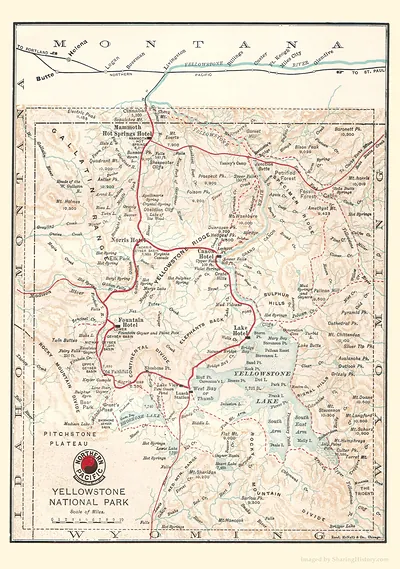
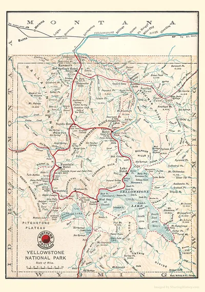
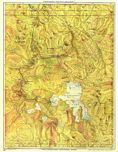
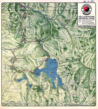
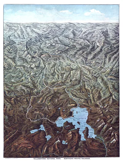
Northern Pacific Yellowstone National Park map, 1904 – Historic Map Reproduction

(Each image is professionally and digitally cleaned of artifacts such as color bars and extra borders prior to printing.)
Description
This rare antique map captures Northern Pacific Yellowstone National Park map, 1904 in remarkable detail. Drawn from the Snapshots of the Past archive, it is an authentic piece of documented history.
The framed print arrives ready to hang; the unframed option suits custom framing. A fine choice for anyone who loves history, and a gift that gets noticed. Free shipping in the lower 48 states. Snapshots of the Past, founded in 2001, has served tens of thousands of customers worldwide.
Northern Pacific Yellowstone National Park map, 1904
Order a print
Thank you. Your order went through, and a receipt is on its way by email.
Secure checkout · SSL encryptedPowered by Stripe and PayPal
Free shipping in the lower 48 states. The checkout page shows the picture, size and price before you pay.
Published by the Northern Pacific Railway in 1904, this map presents Yellowstone as a destination reached by rail, with the company's lines and stations drawn across the surrounding country. The railroad promoted the park heavily, and its tourist publications helped sell trips to the geysers, canyons, and lakes. Yellowstone had been set aside as the first national park in 1872, and by 1904 it drew many visitors who arrived by train through Montana and Wyoming. Maps like this one shaped how travelers pictured the park before they ever saw it.
| Original scan | 1,890 × 2,690 px · prints to 6 × 9 in at 300 dpi |
|---|---|
| Reference | RRH0029c |
More from the Yellowstone collection
Snapshots of the Past helps heritage brands, museums, historians and storytellers tell stories with history: historic prints, image licensing and historical storytelling drawn from more than 25 years of research and curation.