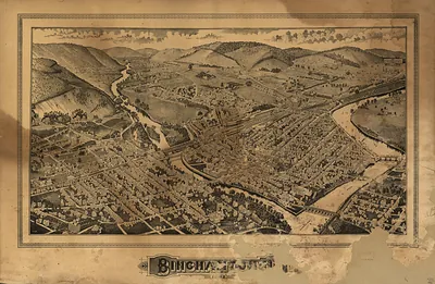
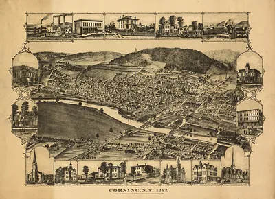
Olean, New York, 1882 – Vintage Map Wall Art

(Originally scanned by the Library of Congress. Each image is professionally and digitally cleaned of artifacts such as color bars and extra borders prior to printing.)
Description
A window into the past: Olean, New York, 1882, preserved in this antique map. Sourced directly from the Library of Congress, it represents an authentic piece of documented history.
Library of Congress record: Bird's eye view of Olean, Cattaraugus County, New York 1882
Framed, it is ready for the wall; unframed, it is ready for the frame you choose. It brings character to any room and makes a memorable gift. Free shipping in the lower 48 states. Snapshots of the Past has been bringing history to the wall since 2001, for tens of thousands of customers worldwide.
Olean, New York, 1882
Order a print
Thank you. Your order went through, and a receipt is on its way by email.
Secure checkout · SSL encryptedPowered by Stripe and PayPal
Free shipping in the lower 48 states. The checkout page shows the picture, size and price before you pay.
Olean, New York, in 1882 was a river town in Cattaraugus County, set where the Allegheny River runs through the hills of the southern tier. Railroads defined its growth. The Erie and the Atlantic and Great Western lines brought freight, passengers, and workers, and the town's population rose as its rail yards and shops expanded. Tanneries drew on the hemlock forests that covered the surrounding hills, and lumber moved down the river and along the tracks. Nearby oil fields in northwestern Pennsylvania and the wider Allegheny valley also shaped local business and talk. Residents in 1882 knew Olean as a busy transfer point on the rail line between New York and the Great Lakes, a place where goods changed hands and the town's fortunes followed the trains.
| Created / published | 1882 |
|---|---|
| Creator | stoner, j. j., brosius, h., beck & pauli |
| Notes | Bird's-eye view map. |
| Subjects | Panoramic maps--New York |
| Source | Library of Congress, Panoramic Maps |
| Original scan | 13,000 × 8,096 px · prints to 43 × 27 in at 300 dpi |
| Library of Congress title | Bird's eye view of Olean, Cattaraugus County, New York 1882 |
| Reference | NY Olean 1882 |
More from the Panoramic Maps collection
Snapshots of the Past helps heritage brands, museums, historians and storytellers tell stories with history: historic prints, image licensing and historical storytelling drawn from more than 25 years of research and curation.