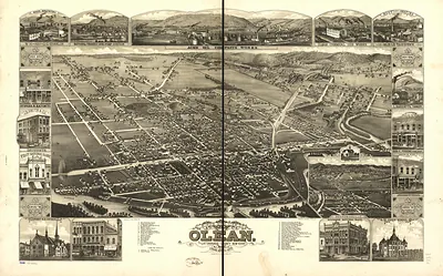
Corning, New York, 1882 – Antique Wall Map

(Originally scanned by the Library of Congress. Each image is professionally and digitally cleaned of artifacts such as color bars and extra borders prior to printing.)
Description
Corning, New York, 1882 comes to life in this antique map, reproduced from the original with every detail intact. It comes from the collections of the Library of Congress, scanned from the original and carefully restored.
Library of Congress record: Corning, N.Y., 1882 : junction of the New York, Lake Erie, and Western and the Syracuse, Geneva & Corning R.R.'s
Order it framed and ready to hang, or unframed to match a frame you already love. It makes a striking addition to a living room, study or office, and a thoughtful gift. Free shipping in the lower 48 states. Snapshots of the Past has been bringing history to the wall since 2001, for tens of thousands of customers worldwide.
Corning, New York, 1882
Order a print
Thank you. Your order went through, and a receipt is on its way by email.
Secure checkout · SSL encryptedPowered by Stripe and PayPal
Free shipping in the lower 48 states. The checkout page shows the picture, size and price before you pay.
Corning, New York, in 1882 was a river town in the Chemung Valley of Steuben County, where the Erie Railroad's main line shaped how the place grew. The railroad brought freight, passengers, and steady work to its yards and shops, and the community also relied on the glassworks that Amory Houghton and his family had moved to Corning from Massachusetts in 1868. Residents knew the town as a railroad and glass center, with churches, schools, and businesses climbing the hillsides above the water. The river was both an asset and a hazard, since spring high water could flood the low streets and factory grounds near the tracks.
| Created / published | 1882 |
|---|---|
| Creator | philadelphia publishing house, corbin, c. j. |
| Notes | Bird's-eye view map. |
| Subjects | Panoramic maps--New York |
| Source | Library of Congress, Panoramic Maps |
| Original scan | 9,632 × 6,992 px · prints to 32 × 23 in at 300 dpi |
| Library of Congress title | Corning, N.Y., 1882 : junction of the New York, Lake Erie, and Western and the Syracuse, Geneva & Corning R.R.'s |
| Reference | NY Corning 1882 |
More from the Panoramic Maps collection
Snapshots of the Past helps heritage brands, museums, historians and storytellers tell stories with history: historic prints, image licensing and historical storytelling drawn from more than 25 years of research and curation.