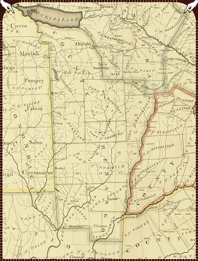
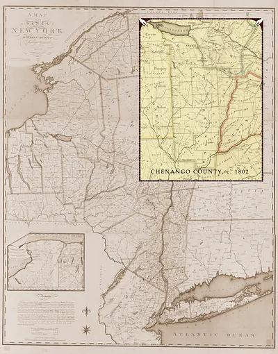
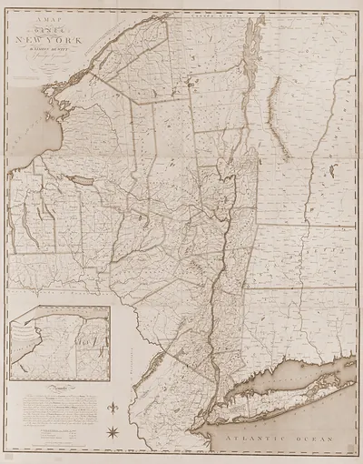
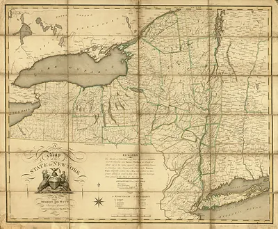
Chenango County, New York, 1802 – Vintage Map Wall Art

(Each image is professionally and digitally cleaned of artifacts such as color bars and extra borders prior to printing.)
Description
Step back in time with Chenango County, New York, 1802, an antique map rich in period detail. It comes from the Snapshots of the Past collection, curated over 25 years for its historical value.
Order it framed and ready to hang, or unframed to match a frame you already love. Perfect for a home, office, library or classroom wall, and a gift with a story behind it. Free shipping in the lower 48 states. Snapshots of the Past, founded in 2001, has served tens of thousands of customers worldwide.
Chenango County, New York, 1802
Order a print
Thank you. Your order went through, and a receipt is on its way by email.
Secure checkout · SSL encryptedPowered by Stripe and PayPal
Free shipping in the lower 48 states. The checkout page shows the picture, size and price before you pay.
In 1802 Chenango County was a frontier district whose streams drained north toward the Susquehanna, and that river shaped how residents reached buyers. The Chenango River joins the Susquehanna near present-day Binghamton, so farmers and millers in the upper valley relied on rafts and flatboats to carry flour and salted pork downriver to distant markets. Winter snow and spring floods made overland hauling slow and unreliable, so families timed their sales around the thaw. Statewide, New York's population had reached about 589,000 at the 1800 census, and newcomers kept pushing into the central counties to fill the gaps between older settlements.
| Created / published | 1802 |
|---|---|
| Notes | Bird's-eye view map. |
| Subjects | Panoramic maps--New York |
| Original scan | 3,600 × 4,732 px · prints to 12 × 16 in at 300 dpi |
| Reference | NY Chenango County 1802a |
More from the Panoramic Maps collection
Snapshots of the Past helps heritage brands, museums, historians and storytellers tell stories with history: historic prints, image licensing and historical storytelling drawn from more than 25 years of research and curation.