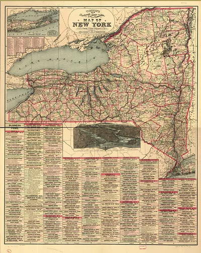
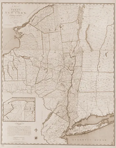
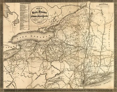
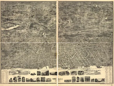
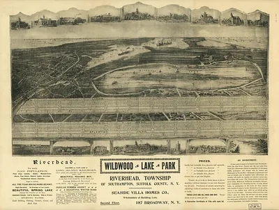
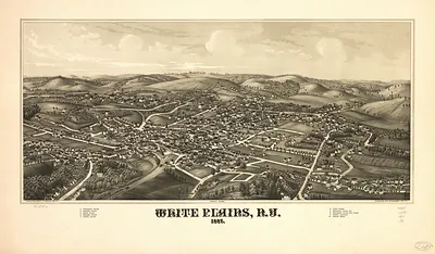
State of New York 1804, New York – Historic Map Reproduction

(Each image is professionally and digitally cleaned of artifacts such as color bars and extra borders prior to printing.)
Description
This antique map of State of New York 1804, New York brings a moment of history to your wall. Drawn from the Snapshots of the Past archive, it is an authentic piece of documented history.
Order it framed and ready to hang, or unframed to match a frame you already love. It makes a striking addition to a living room, study or office, and a thoughtful gift. Free shipping in the lower 48 states. Since 2001, Snapshots of the Past has shipped historic prints to tens of thousands of customers around the world.
State of New York 1804, New York
Order a print
Thank you. Your order went through, and a receipt is on its way by email.
Secure checkout · SSL encryptedPowered by Stripe and PayPal
Free shipping in the lower 48 states. The checkout page shows the picture, size and price before you pay.
In 1804 New York City was still a compact port at the southern tip of Manhattan, home to roughly 60,000 people by the 1800 count and the largest commercial center in the young United States. Merchants, shipowners and dockworkers depended on the East River and the Hudson, and the wharves handled a steady flow of coastal and overseas cargo, while the planned street grid had not yet reached much of the island north of the built-up districts. That summer the city was still mourning Alexander Hamilton, the former Treasury secretary who died in July after his duel with Aaron Burr at Weehawken, New Jersey. Yellow fever had struck the port in earlier years, so residents watched the summer season closely, and many wealthy families left town during the hottest months.
| Notes | Bird's-eye view map. |
|---|---|
| Subjects | Panoramic maps--New York |
| Original scan | 8,533 × 7,026 px · prints to 28 × 23 in at 300 dpi |
| Reference | State of New York 1804 |
More from the Panoramic Maps collection
Snapshots of the Past helps heritage brands, museums, historians and storytellers tell stories with history: historic prints, image licensing and historical storytelling drawn from more than 25 years of research and curation.