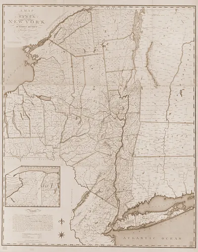
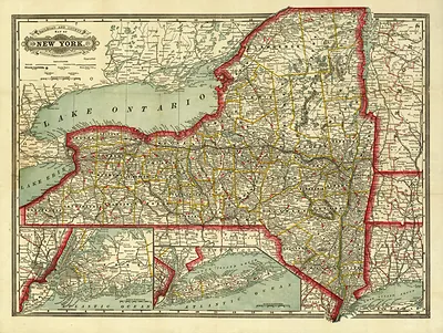
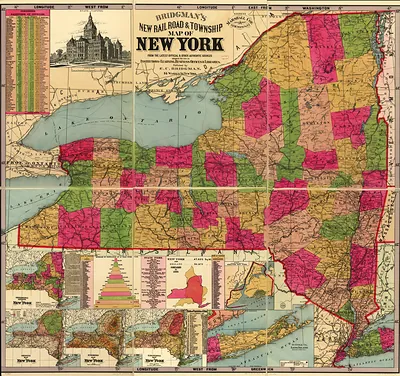
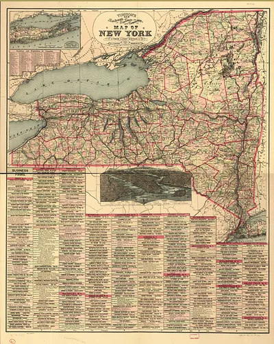
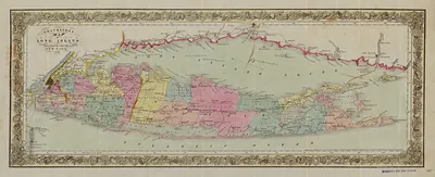
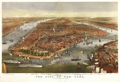
Map of the rail roads of the state of New York., New York, 1870 – Antique Wall Map

(Each image is professionally and digitally cleaned of artifacts such as color bars and extra borders prior to printing.)
Description
A window into the past: Map of the rail roads of the state of New York., New York, 1870, preserved in this antique map. It comes from the Snapshots of the Past collection, curated over 25 years for its historical value.
Framed, it is ready for the wall; unframed, it is ready for the frame you choose. A conversation-starting piece for home, office, or as a meaningful gift. Free shipping in the lower 48 states. Snapshots of the Past, founded in 2001, has served tens of thousands of customers worldwide.
Map of the rail roads of the state of New York., New York, 1870
Order a print
Thank you. Your order went through, and a receipt is on its way by email.
Secure checkout · SSL encryptedPowered by Stripe and PayPal
Free shipping in the lower 48 states. The checkout page shows the picture, size and price before you pay.
In 1870 New York State was the country's most railroad-dense region, and the rail lines drawn on this map carried the grain of the Midwest, the lumber of the North Country, and the manufactured goods of its cities toward New York Harbor. The New York Central had been consolidated in 1869 under Cornelius Vanderbilt, linking Albany, Syracuse, Rochester, and Buffalo along the Hudson and the Mohawk valleys. Rival lines such as the Erie, which ran from the Hudson to Lake Erie, competed hard for the same freight and passenger traffic. Many towns along these routes owed their growth to a single depot, and residents judged their prospects by which railroad served them.
| Created / published | 1870 |
|---|---|
| Notes | Bird's-eye view map. |
| Subjects | Panoramic maps--New York |
| Original scan | 9,072 × 7,168 px · prints to 30 × 24 in at 300 dpi |
| Reference | NY Map of the rail roads of the state of New York. 1870 |
More from the Panoramic Maps collection
Snapshots of the Past helps heritage brands, museums, historians and storytellers tell stories with history: historic prints, image licensing and historical storytelling drawn from more than 25 years of research and curation.