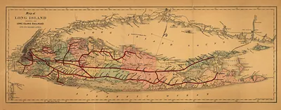
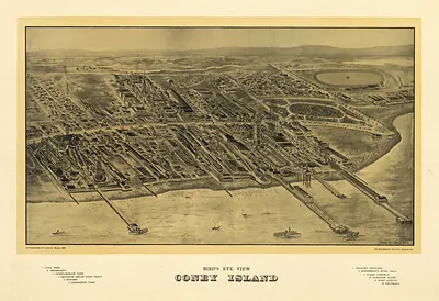
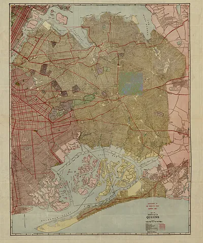
Long Island Travellers map, New York, 1857 – Antique Map Print

(Each image is professionally and digitally cleaned of artifacts such as color bars and extra borders prior to printing.)
Description
Few images capture their era like this antique map of Long Island Travellers map, New York, 1857. Drawn from the Snapshots of the Past archive, it is an authentic piece of documented history.
The framed print arrives ready to hang; the unframed option suits custom framing. A conversation-starting piece for home, office, or as a meaningful gift. Free shipping in the lower 48 states. Snapshots of the Past, founded in 2001, has served tens of thousands of customers worldwide.
Long Island Travellers map, New York, 1857
Order a print
Thank you. Your order went through, and a receipt is on its way by email.
Secure checkout · SSL encryptedPowered by Stripe and PayPal
Free shipping in the lower 48 states. The checkout page shows the picture, size and price before you pay.
Long Island in 1857 was still a mix of farms, fishing villages and small hamlets, but its ties to New York City were tightening quickly. The Long Island Rail Road had reached Greenport at the island's eastern tip in 1844, and ferries and steamboats carried produce, oysters and passengers across the East River and Long Island Sound. Brooklyn, then a separate city across from Manhattan, was growing fast with shipbuilding, sugar refining and a rising population of commuters and immigrants. Farmers in Queens and Suffolk counties sent potatoes and garden vegetables to city markets, while watermen worked the bays for oysters. The Panic of 1857, which broke that October, soon tested the banks and merchants who financed these enterprises.
| Created / published | 1857 |
|---|---|
| Notes | Bird's-eye view map. |
| Subjects | Panoramic maps--New York |
| Original scan | 7,017 × 2,852 px · prints to 23 × 10 in at 300 dpi |
| Reference | NY Long Island Travellers map 1857 |
More from the Panoramic Maps collection
Snapshots of the Past helps heritage brands, museums, historians and storytellers tell stories with history: historic prints, image licensing and historical storytelling drawn from more than 25 years of research and curation.