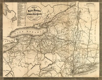
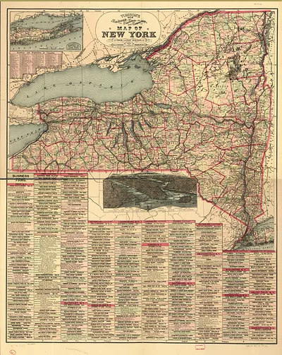
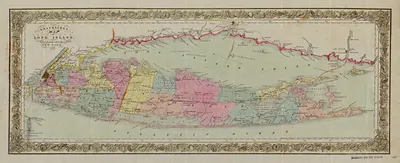
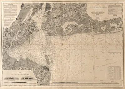
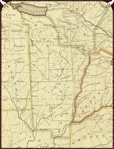
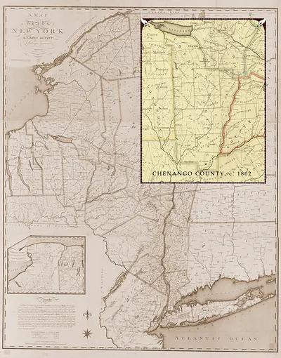
Map of the State of New York, New York, 1802 – Vintage Map Wall Art

(Each image is professionally and digitally cleaned of artifacts such as color bars and extra borders prior to printing.)
Description
This rare antique map captures Map of the State of New York, New York, 1802 in remarkable detail. It is part of the Snapshots of the Past archive, gathered over 25 years of research.
Choose the framed print, ready to hang the day it arrives, or the unframed print for a frame of your own. It makes a striking addition to a living room, study or office, and a thoughtful gift. Free shipping in the lower 48 states. Since 2001, Snapshots of the Past has shipped historic prints to tens of thousands of customers around the world.
Map of the State of New York, New York, 1802
Order a print
Thank you. Your order went through, and a receipt is on its way by email.
Secure checkout · SSL encryptedPowered by Stripe and PayPal
Free shipping in the lower 48 states. The checkout page shows the picture, size and price before you pay.
New York State in 1802 was a young and quickly filling place, with about 589,000 residents counted in the 1800 federal census. The Hudson River was its main highway, carrying farm produce, timber, and goods between the interior and the port of New York City. Albany, the state capital, sat on the river's west bank and handled much of that traffic, while the Mohawk Valley to the west drew settlers onto land opened after the Revolution. Governor George Clinton had taken office in 1801, and state politics were shaped by sharp rivalries among leading families and factions. Most people still made their living from farming, and wheat, flour, and potash were among the leading exports.
| Created / published | 1802 |
|---|---|
| Notes | Bird's-eye view map. |
| Subjects | Panoramic maps--New York |
| Original scan | 8,053 × 10,257 px · prints to 27 × 34 in at 300 dpi |
| Reference | NY Map of the State of New York 1802 |
More from the Panoramic Maps collection
Snapshots of the Past helps heritage brands, museums, historians and storytellers tell stories with history: historic prints, image licensing and historical storytelling drawn from more than 25 years of research and curation.