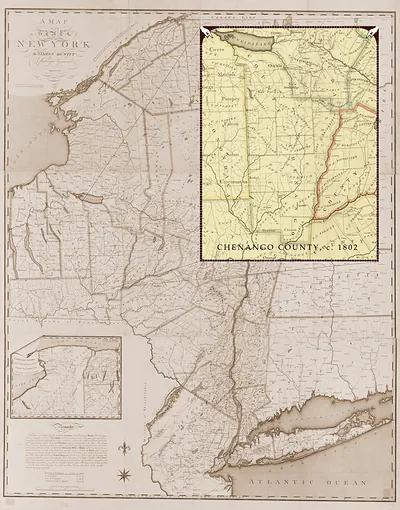
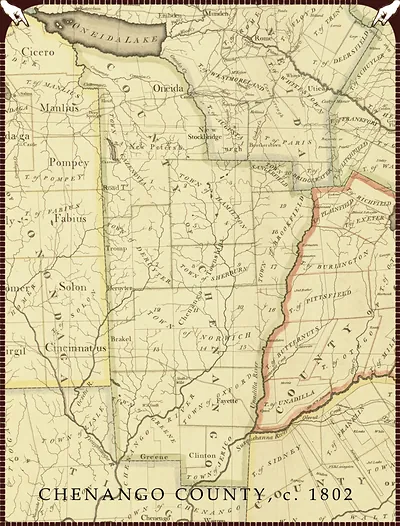
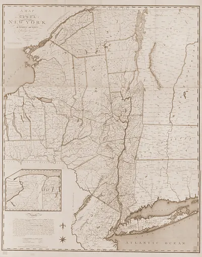
Chenango County A, New York, 1802 – Historic Map Reproduction

(Each image is professionally and digitally cleaned of artifacts such as color bars and extra borders prior to printing.)
Description
Chenango County A, New York, 1802 comes to life in this antique map, reproduced from the original with every detail intact. It comes from the Snapshots of the Past collection, curated over 25 years for its historical value.
Framed, it is ready for the wall; unframed, it is ready for the frame you choose. A conversation-starting piece for home, office, or as a meaningful gift. Free shipping in the lower 48 states. Since 2001, Snapshots of the Past has shipped historic prints to tens of thousands of customers around the world.
Chenango County A, New York, 1802
Order a print
Thank you. Your order went through, and a receipt is on its way by email.
Secure checkout · SSL encryptedPowered by Stripe and PayPal
Free shipping in the lower 48 states. The checkout page shows the picture, size and price before you pay.
Chenango County, New York, in 1802 was a young frontier county, organized only a few years earlier in 1798 out of the larger Tioga County. Its settlers were mostly farm families who had moved in from New England and the Hudson Valley after the Revolution, clearing land along the Chenango River and its tributaries. Life centered on farming, sawmills, and gristmills powered by the streams, with lumber and grain as the main goods to sell. Roads were rough, and the region was still far from the markets that the Erie Canal would later open to the west. Norwich, the county seat, served as the place where courts, local government, and trade came together for the surrounding countryside.
| Created / published | 1802 |
|---|---|
| Notes | Bird's-eye view map. |
| Subjects | Panoramic maps--New York |
| Original scan | 3,600 × 4,732 px · prints to 12 × 16 in at 300 dpi |
| Reference | NY Chenango County A 1802 |
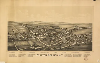
More from the Panoramic Maps collection
Snapshots of the Past helps heritage brands, museums, historians and storytellers tell stories with history: historic prints, image licensing and historical storytelling drawn from more than 25 years of research and curation.