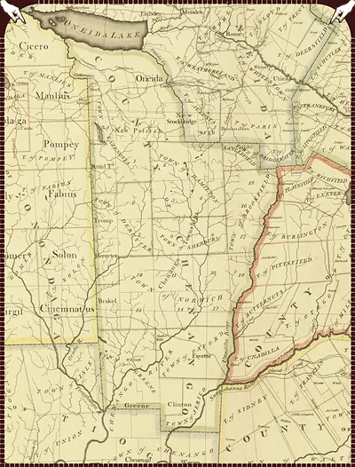
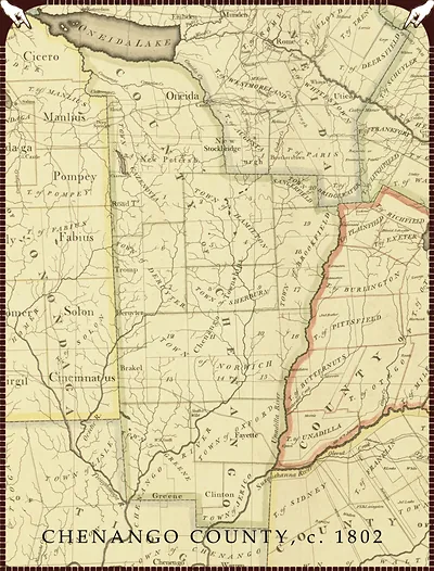
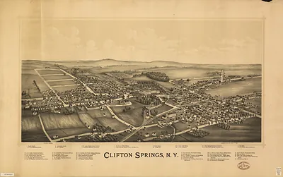
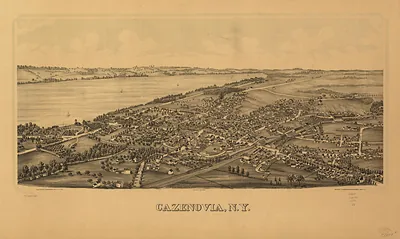
Chenango County, New York, 1802 – Historic Map Reproduction

(Each image is professionally and digitally cleaned of artifacts such as color bars and extra borders prior to printing.)
Description
A window into the past: Chenango County, New York, 1802, preserved in this antique map. Drawn from the Snapshots of the Past archive, it is an authentic piece of documented history.
Framed, it is ready for the wall; unframed, it is ready for the frame you choose. Perfect for a home, office, library or classroom wall, and a gift with a story behind it. Free shipping in the lower 48 states. Snapshots of the Past has been bringing history to the wall since 2001, for tens of thousands of customers worldwide.
Chenango County, New York, 1802
Order a print
Thank you. Your order went through, and a receipt is on its way by email.
Secure checkout · SSL encryptedPowered by Stripe and PayPal
Free shipping in the lower 48 states. The checkout page shows the picture, size and price before you pay.
Chenango County, New York, was carved out of Tioga County in 1798, and by 1802 it was still a young frontier district in the Chenango River valley of the state's central region. Settlers, many of them farmers and Revolutionary War veterans moving west from New England, were clearing land, raising wheat, corn, and livestock, and building sawmills and gristmills along the streams. Norwich served as the county seat, where courts, local officials, and the first county institutions gathered. Good roads and river transport were scarce, so isolated clearings and small villages depended on trading their surplus at distant markets. The decade's main changes, including canals and later rail lines, still lay ahead.
| Created / published | 1802 |
|---|---|
| Notes | Bird's-eye view map. |
| Subjects | Panoramic maps--New York |
| Original scan | 8,053 × 10,257 px · prints to 27 × 34 in at 300 dpi |
| Reference | NY Chenango County 1802 |
More from the Panoramic Maps collection
Snapshots of the Past helps heritage brands, museums, historians and storytellers tell stories with history: historic prints, image licensing and historical storytelling drawn from more than 25 years of research and curation.