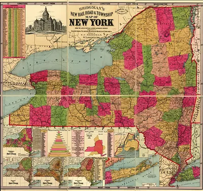
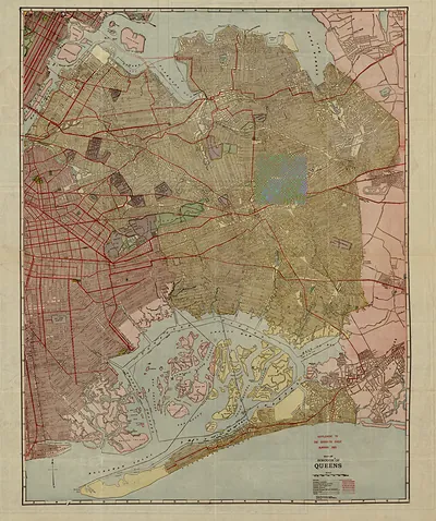
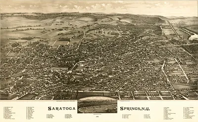
RR Crams township and rail road map of New York., New York, 1888 – Historic Map Reproduction

(Each image is professionally and digitally cleaned of artifacts such as color bars and extra borders prior to printing.)
Description
This rare antique map captures RR Crams township and rail road map of New York., New York, 1888 in remarkable detail. It is part of the Snapshots of the Past archive, gathered over 25 years of research.
The framed print arrives ready to hang; the unframed option suits custom framing. Perfect for a home, office, library or classroom wall, and a gift with a story behind it. Free shipping in the lower 48 states. Snapshots of the Past, founded in 2001, has served tens of thousands of customers worldwide.
RR Crams township and rail road map of New York., New York, 1888
Order a print
Thank you. Your order went through, and a receipt is on its way by email.
Secure checkout · SSL encryptedPowered by Stripe and PayPal
Free shipping in the lower 48 states. The checkout page shows the picture, size and price before you pay.
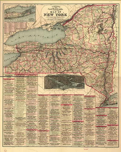
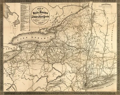
New York State in 1888 was the most populous state in the Union, and its economy ran along the rail lines and waterways that crossed it. The New York Central followed the Hudson and the Mohawk valley, the Erie and the Delaware, Lackawanna and Western carried coal and freight through the southern tier, and the Erie Canal still moved grain toward New York City. Dairy farms sent milk and cheese to city markets by rail, while Buffalo's grain elevators and Rochester's mills drew workers from across the state and abroad. Township boundaries, the basis of local government, shaped taxes, roads, and schools, and the Adirondacks and Catskills were beginning to attract summer visitors who rode north on the new lines.
| Created / published | 1888 |
|---|---|
| Notes | Bird's-eye view map. |
| Subjects | Panoramic maps--New York |
| Original scan | 7,056 × 5,312 px · prints to 24 × 18 in at 300 dpi |
| Reference | NY RR Crams township and rail road map of New York. 1888 |
More from the Panoramic Maps collection
Snapshots of the Past helps heritage brands, museums, historians and storytellers tell stories with history: historic prints, image licensing and historical storytelling drawn from more than 25 years of research and curation.