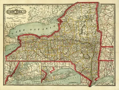
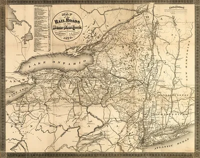
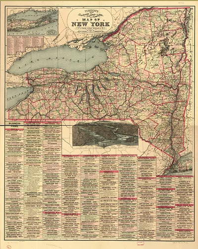
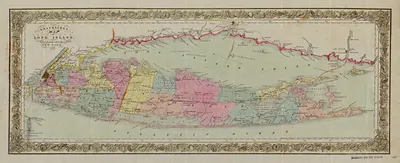
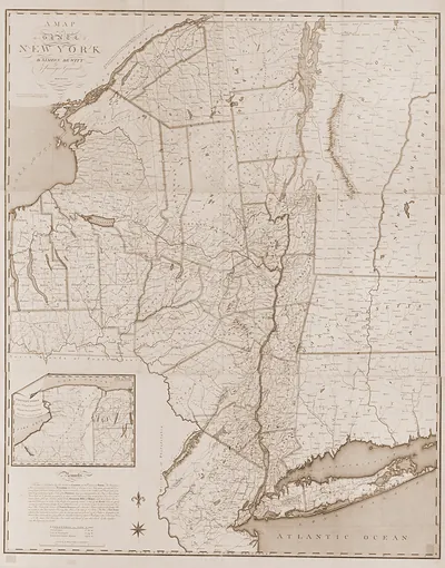
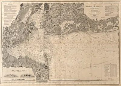
Bridgmans new rail road & township map of New York, New York, 1896 – Antique Wall Map

(Each image is professionally and digitally cleaned of artifacts such as color bars and extra borders prior to printing.)
Description
Bridgmans new rail road & township map of New York, New York, 1896 comes to life in this antique map, reproduced from the original with every detail intact. It comes from the Snapshots of the Past collection, curated over 25 years for its historical value.
Framed, it is ready for the wall; unframed, it is ready for the frame you choose. Perfect for a home, office, library or classroom wall, and a gift with a story behind it. Free shipping in the lower 48 states. Snapshots of the Past has been bringing history to the wall since 2001, for tens of thousands of customers worldwide.
Bridgmans new rail road & township map of New York, New York, 1896
Order a print
Thank you. Your order went through, and a receipt is on its way by email.
Secure checkout · SSL encryptedPowered by Stripe and PayPal
Free shipping in the lower 48 states. The checkout page shows the picture, size and price before you pay.
New York City in 1896 was the largest city in the United States, with Manhattan alone holding well over a million people and its harbor handling much of the nation's foreign trade. Elevated steam railways ran above the avenues, while trunk lines fed passengers and freight into the island from the north, south and west. Brooklyn, Queens, the Bronx and Richmond were still separate municipalities, and the consolidation that created Greater New York took effect in January 1898. Garment shops, printing houses and breweries employed many of the city's immigrant workers, who came largely from Germany, Ireland, Italy and Eastern Europe. A map charting rail lines and townships at this moment shows a city on the verge of redrawing its own borders.
| Created / published | 1896 |
|---|---|
| Notes | Bird's-eye view map. |
| Subjects | Panoramic maps--New York |
| Original scan | 10,720 × 10,080 px · prints to 36 × 34 in at 300 dpi |
| Reference | NY Bridgmans new rail road & township map of New York 1896 |
More from the Panoramic Maps collection
Snapshots of the Past helps heritage brands, museums, historians and storytellers tell stories with history: historic prints, image licensing and historical storytelling drawn from more than 25 years of research and curation.