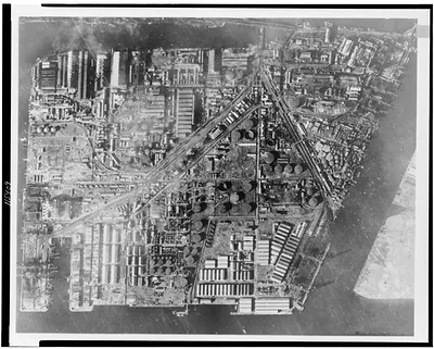
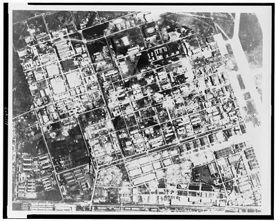
Los Angeles, Plate X, U.S.P.R.R. Exp. & Surveys, Cal. – Vintage Print

(Each image is professionally and digitally cleaned of artifacts such as color bars and extra borders prior to printing.)
Description
This rare historic image captures Los Angeles, Plate X, U.S.P.R.R. Exp. & Surveys, Cal. in remarkable detail. It is part of the Snapshots of the Past archive, gathered over 25 years of research.
Order it framed and ready to hang, or unframed to match a frame you already love. It makes a striking addition to a living room, study or office, and a thoughtful gift. Free shipping in the lower 48 states. Since 2001, Snapshots of the Past has shipped historic prints to tens of thousands of customers around the world.
Los Angeles, Plate X, U.S.P.R.R. Exp. & Surveys, Cal.
Order a print
Thank you. Your order went through, and a receipt is on its way by email.
Secure checkout · SSL encryptedPowered by Stripe and PayPal
Free shipping in the lower 48 states. The checkout page shows the picture, size and price before you pay.
This plate comes from the reports of the U.S. Pacific Railroad Surveys, the government expeditions of the early 1850s that searched for the best route for a transcontinental railroad. Its label marks it as one of the illustrated views those surveys published, so it shows Los Angeles as surveyors and officials of the period saw it. At that time the town was still a small community of adobe houses and dirt streets, a long way from the city it later became. The surveys were meant to inform a national debate over where the railroad should run, and their published plates now serve as some of the earliest visual records of Southern California towns.
| Original scan | 1,456 × 1,161 px · prints to 5 × 4 in at 300 dpi |
|---|---|
| Reference | 3g05337_ |
More from the The West collection
Snapshots of the Past helps heritage brands, museums, historians and storytellers tell stories with history: historic prints, image licensing and historical storytelling drawn from more than 25 years of research and curation.