Pawling, New York, 1909 – Antique Wall Map

(Originally scanned by the Library of Congress. Each image is professionally and digitally cleaned of artifacts such as color bars and extra borders prior to printing.)
Description
Few images capture their era like this antique map of Pawling, New York, 1909. An authentic image from the Library of Congress, it carries the weight of the real historical record.
Library of Congress record: 1909 Pawling, N.Y.
The framed print arrives ready to hang; the unframed option suits custom framing. A fine choice for anyone who loves history, and a gift that gets noticed. Free shipping in the lower 48 states. Since 2001, Snapshots of the Past has shipped historic prints to tens of thousands of customers around the world.
Pawling, New York, 1909
Order a print
Thank you. Your order went through, and a receipt is on its way by email.
Secure checkout · SSL encryptedPowered by Stripe and PayPal
Free shipping in the lower 48 states. The checkout page shows the picture, size and price before you pay.
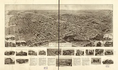
Pawling, a village in southeastern Dutchess County, New York, sat among dairy farms and orchards in the Harlem Valley in 1909, and this bird's-eye view shows its compact streets set against that open countryside. The New York Central's Harlem line ran through the valley, carrying milk, farm produce, and passengers to New York City and making the area convenient for city families seeking summer stays. Quaker settlers had farmed the surrounding hills since the eighteenth century, and their meetinghouse tradition helped give the community a plain, orderly character. Dairying tied many local households to the railroad and to distant city markets. By the end of the decade, daily life in Pawling revolved around farm work, church, and the seasonal trade of summer visitors.
| Created / published | 1909 |
|---|---|
| Creator | tice, w. g., smith, p. h., knickerbocker litho. co |
| Notes | Bird's-eye view map. |
| Subjects | Panoramic maps--New York |
| Source | Library of Congress, Panoramic Maps |
| Original scan | 8,112 × 6,368 px · prints to 27 × 21 in at 300 dpi |
| Library of Congress title | 1909 Pawling, N.Y. |
| Reference | NY Pawling 1909 |
More from the Panoramic Maps collection
Snapshots of the Past helps heritage brands, museums, historians and storytellers tell stories with history: historic prints, image licensing and historical storytelling drawn from more than 25 years of research and curation.