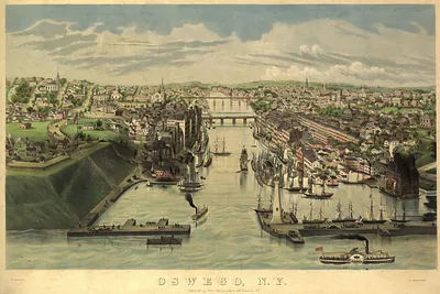
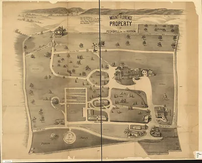
Patchogue, New York, 1906 – Antique Wall Map

(Originally scanned by the Library of Congress. Each image is professionally and digitally cleaned of artifacts such as color bars and extra borders prior to printing.)
Description
Few images capture their era like this antique map of Patchogue, New York, 1906. It comes from the collections of the Library of Congress, scanned from the original and carefully restored.
Library of Congress record: Bird's-eye view of Patchogue, Long Island, N.Y.
Framed, it is ready for the wall; unframed, it is ready for the frame you choose. A fine choice for anyone who loves history, and a gift that gets noticed. Free shipping in the lower 48 states. Snapshots of the Past has been bringing history to the wall since 2001, for tens of thousands of customers worldwide.
Patchogue, New York, 1906
Order a print
Thank you. Your order went through, and a receipt is on its way by email.
Secure checkout · SSL encryptedPowered by Stripe and PayPal
Free shipping in the lower 48 states. The checkout page shows the picture, size and price before you pay.
Patchogue, on the south shore of Long Island in Suffolk County, was a busy village in 1906, with a population of a few thousand and an economy built on the Patchogue River and nearby Great South Bay. The village had grown up around mills, and by the turn of the century it was known for its shoe factories and a large hat-making industry, which drew workers and shipped goods by rail on the Long Island Rail Road line. Its shops, churches, and commercial blocks clustered near the waterfront and the main streets, and residents of the surrounding farms and fishing settlements came into town for trade and social life. A bird's-eye view of this kind would have shown a community proud of its factories and its growing summer trade along the bay.
| Created / published | 1906 |
|---|---|
| Creator | hughes & bailey |
| Notes | Bird's-eye view map. |
| Subjects | Panoramic maps--New York |
| Source | Library of Congress, Panoramic Maps |
| Original scan | 10,352 × 8,752 px · prints to 35 × 29 in at 300 dpi |
| Library of Congress title | Bird's-eye view of Patchogue, Long Island, N.Y. |
| Reference | NY Patchogue 1906 |
More from the Panoramic Maps collection
Snapshots of the Past helps heritage brands, museums, historians and storytellers tell stories with history: historic prints, image licensing and historical storytelling drawn from more than 25 years of research and curation.