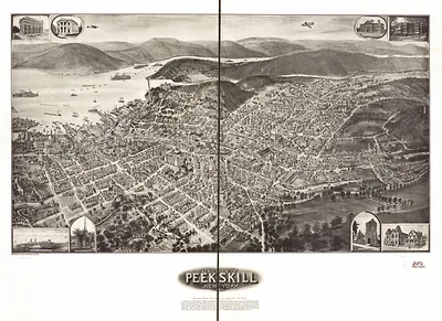
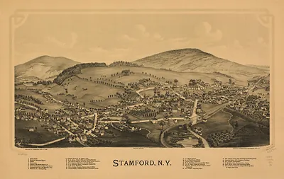
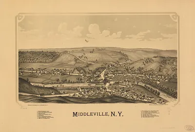
Peekskill, New York, 1890 – Antique Wall Map

(Originally scanned by the Library of Congress. Each image is professionally and digitally cleaned of artifacts such as color bars and extra borders prior to printing.)
Description
Few images capture their era like this antique map of Peekskill, New York, 1890. Sourced directly from the Library of Congress, it represents an authentic piece of documented history.
Library of Congress record: The Mount Florence property at Peekskill on the Hudson
The framed print arrives ready to hang; the unframed option suits custom framing. It brings character to any room and makes a memorable gift. Free shipping in the lower 48 states. Since 2001, Snapshots of the Past has shipped historic prints to tens of thousands of customers around the world.
Peekskill, New York, 1890
Order a print
Thank you. Your order went through, and a receipt is on its way by email.
Secure checkout · SSL encryptedPowered by Stripe and PayPal
Free shipping in the lower 48 states. The checkout page shows the picture, size and price before you pay.
Peekskill, New York, in 1890 was a river town on the east bank of the Hudson, about 40 miles north of New York City, with its fortunes tied to the river and the railroad that ran along the shoreline. Its earlier history was built into the local landscape: during the Revolutionary War, Continental forces used the Peekskill area as a supply depot and encampment, and Israel Putnam was among the officers stationed there. By 1890, the Gilded Age had brought factories, shops, and commuters to the hills above the water, and residents still spoke of the town as a place where the Hudson trade and the rail traffic met. A bird's-eye view from that year shows how closely the streets, rail yards, and waterfront were packed together, and how the town spread up the surrounding slopes.
| Created / published | 1890 |
|---|---|
| Notes | Bird's-eye view map. |
| Subjects | Panoramic maps--New York |
| Source | Library of Congress, Panoramic Maps |
| Original scan | 9,312 × 7,552 px · prints to 31 × 25 in at 300 dpi |
| Library of Congress title | The Mount Florence property at Peekskill on the Hudson |
| Reference | NY Peekskill 1890 |
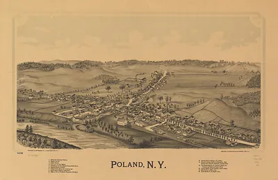
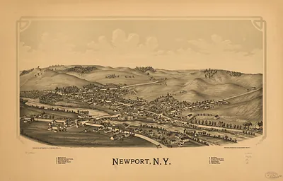
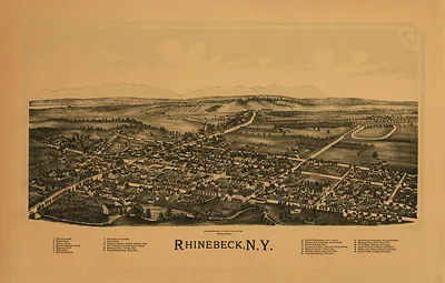
More from the Panoramic Maps collection
Snapshots of the Past helps heritage brands, museums, historians and storytellers tell stories with history: historic prints, image licensing and historical storytelling drawn from more than 25 years of research and curation.