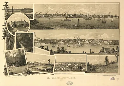
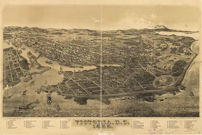
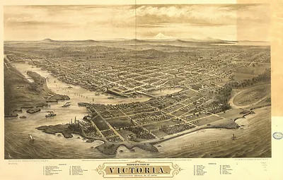
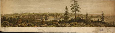
CANADA-Winnipeg-1884 – Historic Map Reproduction

(Originally scanned by the Library of Congress. Each image is professionally and digitally cleaned of artifacts such as color bars and extra borders prior to printing.)
Description
CANADA-Winnipeg-1884 comes to life in this antique map, reproduced from the original with every detail intact. Sourced directly from the Library of Congress, it represents an authentic piece of documented history.
Library of Congress record: Winnipeg
The framed print arrives ready to hang; the unframed option suits custom framing. It makes a striking addition to a living room, study or office, and a thoughtful gift. Free shipping in the lower 48 states. Since 2001, Snapshots of the Past has shipped historic prints to tens of thousands of customers around the world.
CANADA-Winnipeg-1884
Order a print
Thank you. Your order went through, and a receipt is on its way by email.
Secure checkout · SSL encryptedPowered by Stripe and PayPal
Free shipping in the lower 48 states. The checkout page shows the picture, size and price before you pay.
Winnipeg in 1884 was a rapidly growing city at the junction of the Red and Assiniboine rivers, and its growth rested on its position as a transportation hub. The Canadian Pacific Railway had reached the town in 1881, and the rail link to eastern Canada and the American border turned it into the main warehousing and distribution point for the prairie grain trade. Wheat, lumber, and goods moved through its stockyards, mills, and freight sheds, and land speculation drove a boom in lots and building. Winnipeg had been incorporated as a city only in 1873, and by the mid-1880s its residents were still building the streets, churches, and civic institutions of a frontier town that expected to become a major western metropolis.
| Created / published | 1884 |
|---|---|
| Creator | fonseca, w. g. |
| Notes | Bird's-eye view map. |
| Subjects | Panoramic maps-- |
| Source | Library of Congress, Panoramic Maps |
| Original scan | 12,275 × 9,313 px · prints to 41 × 31 in at 300 dpi |
| Library of Congress title | Winnipeg |
| Reference | CANADA-Winnipeg-1884 |
More from the Panoramic Maps collection
Snapshots of the Past helps heritage brands, museums, historians and storytellers tell stories with history: historic prints, image licensing and historical storytelling drawn from more than 25 years of research and curation.