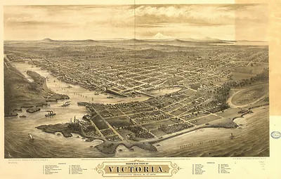
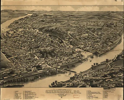
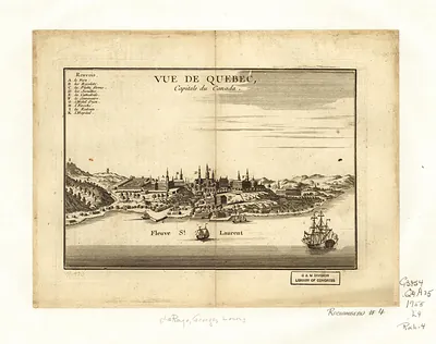
CANADA-Vancouver BC-1860 – Antique Map Print

(Originally scanned by the Library of Congress. Each image is professionally and digitally cleaned of artifacts such as color bars and extra borders prior to printing.)
Description
This antique map of CANADA-Vancouver BC-1860 brings a moment of history to your wall. The original is held by the Library of Congress, so what you hang is a true record of its time.
Library of Congress record: View of Victoria, Vancouver Island
Choose the framed print, ready to hang the day it arrives, or the unframed print for a frame of your own. A conversation-starting piece for home, office, or as a meaningful gift. Free shipping in the lower 48 states. Since 2001, Snapshots of the Past has shipped historic prints to tens of thousands of customers around the world.
CANADA-Vancouver BC-1860
Order a print
Thank you. Your order went through, and a receipt is on its way by email.
Secure checkout · SSL encryptedPowered by Stripe and PayPal
Free shipping in the lower 48 states. The checkout page shows the picture, size and price before you pay.
Vancouver did not exist in 1860. The sheet is dated that year, but the site was then a forested shore on Burrard Inlet, with the Hudson's Bay Company's Fort Langley and the new colonial capital at New Westminster on the Fraser River. The Fraser gold rush of 1858 had drawn thousands of miners and supply traders into the mainland colony, and that trade shaped the region's early economy. The settlement that took the name Vancouver grew after the Canadian Pacific Railway selected it as its terminus in the mid-1880s, and it was incorporated in 1886. That same year a fire destroyed most of the young city's wooden buildings, and residents rebuilt quickly.
| Created / published | 1860 |
|---|---|
| Creator | picken, thomas, tiedemann, h. o., day & son |
| Notes | Bird's-eye view map. |
| Subjects | Panoramic maps-- |
| Source | Library of Congress, Panoramic Maps |
| Original scan | 10,384 × 2,992 px · prints to 35 × 10 in at 300 dpi |
| Library of Congress title | View of Victoria, Vancouver Island |
| Reference | CANADA-VancouverBC-1860 |
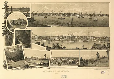
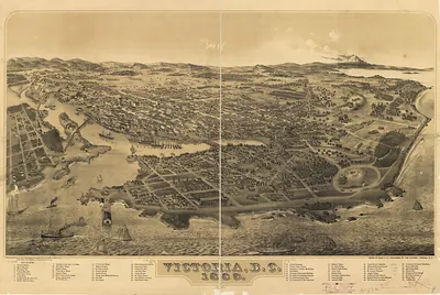
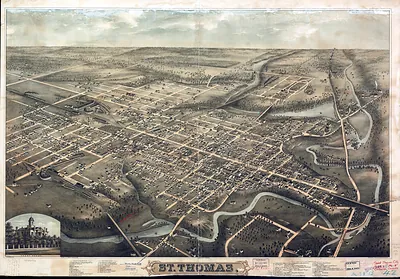
More from the Panoramic Maps collection
Snapshots of the Past helps heritage brands, museums, historians and storytellers tell stories with history: historic prints, image licensing and historical storytelling drawn from more than 25 years of research and curation.