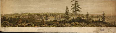
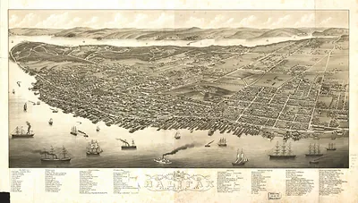
CANADA-Quebec-1755 – Antique Wall Map

(Originally scanned by the Library of Congress. Each image is professionally and digitally cleaned of artifacts such as color bars and extra borders prior to printing.)
Description
A window into the past: CANADA-Quebec-1755, preserved in this antique map. The original is held by the Library of Congress, so what you hang is a true record of its time.
Library of Congress record: Vue de Quebec, capitale du Canada
Order it framed and ready to hang, or unframed to match a frame you already love. It brings character to any room and makes a memorable gift. Free shipping in the lower 48 states. Snapshots of the Past, founded in 2001, has served tens of thousands of customers worldwide.
CANADA-Quebec-1755
Order a print
Thank you. Your order went through, and a receipt is on its way by email.
Secure checkout · SSL encryptedPowered by Stripe and PayPal
Free shipping in the lower 48 states. The checkout page shows the picture, size and price before you pay.
Quebec in 1755 was the capital of New France, a walled town of several thousand people set on cliffs above the St. Lawrence River. Its economy rested on the fur trade, which passed through its warehouses and wharves, along with timber, grain, and fish shipped across the Atlantic to France. Power was shared between the governor, who commanded the troops, and the intendant, who handled finance, justice, and supply. The governor's residence stood in the Upper Town, while merchants and dockworkers crowded the Lower Town along the water. Residents knew the place as the seat of royal authority in the colony, even as war with Britain spread into the Ohio country and the Acadian lands. In 1759, British forces under James Wolfe took the town after a siege, ending French rule there.
| Created / published | 1755 |
|---|---|
| Creator | le rouge, georges-louis |
| Notes | Bird's-eye view map. |
| Subjects | Panoramic maps-- |
| Source | Library of Congress, Panoramic Maps |
| Original scan | 4,440 × 3,512 px · prints to 15 × 12 in at 300 dpi |
| Library of Congress title | Vue de Quebec, capitale du Canada |
| Reference | CANADA-Quebec-1755 |
More from the Panoramic Maps collection
Snapshots of the Past helps heritage brands, museums, historians and storytellers tell stories with history: historic prints, image licensing and historical storytelling drawn from more than 25 years of research and curation.