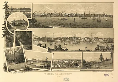
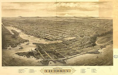
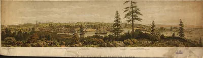
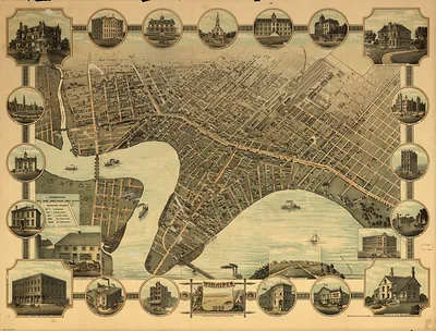
CANADA-Vancouver BC-1889 – Vintage Map Wall Art

(Originally scanned by the Library of Congress. Each image is professionally and digitally cleaned of artifacts such as color bars and extra borders prior to printing.)
Description
A window into the past: CANADA-Vancouver BC-1889, preserved in this antique map. The original is held by the Library of Congress, so what you hang is a true record of its time.
Library of Congress record: Victoria, B.C. 1889
Choose the framed print, ready to hang the day it arrives, or the unframed print for a frame of your own. It brings character to any room and makes a memorable gift. Free shipping in the lower 48 states. Snapshots of the Past has been bringing history to the wall since 2001, for tens of thousands of customers worldwide.
CANADA-Vancouver BC-1889
Order a print
Thank you. Your order went through, and a receipt is on its way by email.
Secure checkout · SSL encryptedPowered by Stripe and PayPal
Free shipping in the lower 48 states. The checkout page shows the picture, size and price before you pay.
By 1889 Vancouver was three years into its life as an incorporated city, and this bird's-eye view shows a street grid pushing west from the waterfront toward the timber that still covered much of the peninsula. Canadian Pacific Railway trains had been running into the city since 1887, and the company's Hotel Vancouver, opened in 1888, gave travelers and investors a showpiece near the tracks. That same year the city set aside the forested tip of the peninsula as Stanley Park, named for Governor General Lord Stanley, and residents began walking its trails among the old cedars and firs. Sawmills on the inlet kept cutting lumber for export, while merchants on Hastings Street depended on rail freight arriving from the prairies.
| Created / published | 1889 |
|---|---|
| Creator | ellis & co. (firm) |
| Notes | Bird's-eye view map. |
| Subjects | Panoramic maps-- |
| Source | Library of Congress, Panoramic Maps |
| Original scan | 12,080 × 8,080 px · prints to 40 × 27 in at 300 dpi |
| Library of Congress title | Victoria, B.C. 1889 |
| Reference | CANADA-VancouverBC-1889 |
More from the Panoramic Maps collection
Snapshots of the Past helps heritage brands, museums, historians and storytellers tell stories with history: historic prints, image licensing and historical storytelling drawn from more than 25 years of research and curation.