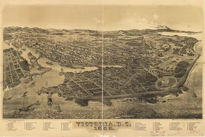
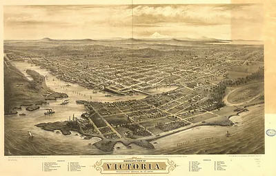
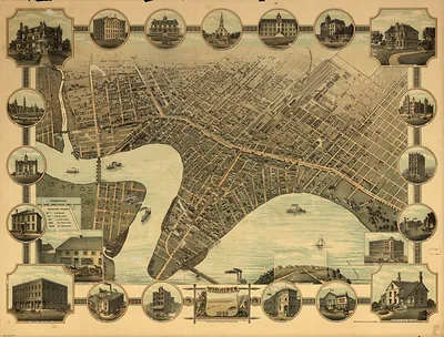
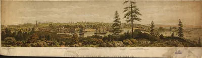
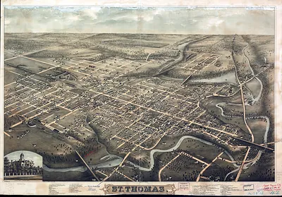
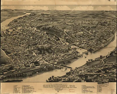
CANADA-Vancouver BC-1884 – Vintage Map Wall Art

(Originally scanned by the Library of Congress. Each image is professionally and digitally cleaned of artifacts such as color bars and extra borders prior to printing.)
Description
Few images capture their era like this antique map of CANADA-Vancouver BC-1884. Sourced directly from the Library of Congress, it represents an authentic piece of documented history.
Library of Congress record: Victoria, B.C. and vicinity 1884
Framed, it is ready for the wall; unframed, it is ready for the frame you choose. It brings character to any room and makes a memorable gift. Free shipping in the lower 48 states. Snapshots of the Past, founded in 2001, has served tens of thousands of customers worldwide.
CANADA-Vancouver BC-1884
Order a print
Thank you. Your order went through, and a receipt is on its way by email.
Secure checkout · SSL encryptedPowered by Stripe and PayPal
Free shipping in the lower 48 states. The checkout page shows the picture, size and price before you pay.
In 1884 the settlement on the south shore of Burrard Inlet still went by Granville, and its streets were laid out in a rough grid around the Hastings Mill and the wharves that loaded lumber for ships. Newcomers were arriving as the Canadian Pacific Railway pushed its line west, and the company's survey crews were weighing Burrard Inlet against Port Moody at the head of the inlet as the line's Pacific terminus. Chinese and European laborers worked on the rail grade and in the mill yards, and the town's future seemed tied to whichever shore the railway chose. Residents of Granville would have known it mainly as a sawmill town at the edge of a deep harbor, waiting to see whether the transcontinental line would make it a city.
| Created / published | 1884 |
|---|---|
| Creator | samuel, l. |
| Notes | Bird's-eye view map. |
| Subjects | Panoramic maps-- |
| Source | Library of Congress, Panoramic Maps |
| Original scan | 8,752 × 6,088 px · prints to 29 × 20 in at 300 dpi |
| Library of Congress title | Victoria, B.C. and vicinity 1884 |
| Reference | CANADA-VancouverBC-1884 |
More from the Panoramic Maps collection
Snapshots of the Past helps heritage brands, museums, historians and storytellers tell stories with history: historic prints, image licensing and historical storytelling drawn from more than 25 years of research and curation.