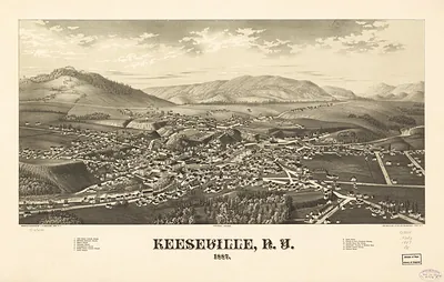
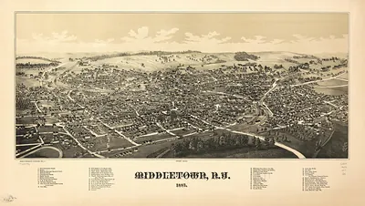
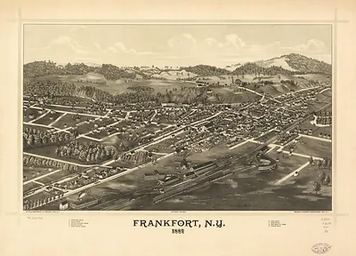
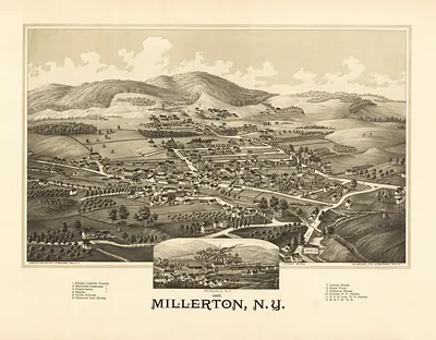
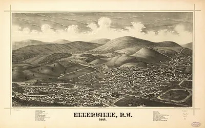
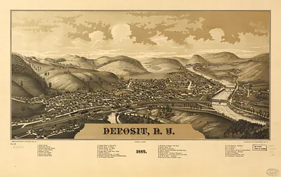
Johnsonville, New York, 1887 – Historic Map Reproduction

(Originally scanned by the Library of Congress. Each image is professionally and digitally cleaned of artifacts such as color bars and extra borders prior to printing.)
Description
This rare antique map captures Johnsonville, New York, 1887 in remarkable detail. It comes from the collections of the Library of Congress, scanned from the original and carefully restored.
Library of Congress record: Johnsonville, N.Y. 1887
Choose the framed print, ready to hang the day it arrives, or the unframed print for a frame of your own. A fine choice for anyone who loves history, and a gift that gets noticed. Free shipping in the lower 48 states. Since 2001, Snapshots of the Past has shipped historic prints to tens of thousands of customers around the world.
Johnsonville, New York, 1887
Order a print
Thank you. Your order went through, and a receipt is on its way by email.
Secure checkout · SSL encryptedPowered by Stripe and PayPal
Free shipping in the lower 48 states. The checkout page shows the picture, size and price before you pay.
Johnsonville, New York, drawn in 1887, was a small mill village in the Hoosic Valley of Rensselaer County, where water power from local streams drove textile works and the surrounding farms supplied wool, grain, and dairy goods. Its fortunes followed the valley's industries, and in the 1880s many upstate towns still depended on a single mill owner or a handful of family firms for jobs. The bird's-eye view was produced by Burleigh, the Troy lithographer whose firm issued many such town views across the region in that decade, so the picture reflects a moment when local business leaders wanted their community shown as orderly, prosperous, and connected. Residents of the period would have known Johnsonville through its mills, its churches and schools, and its roads to larger markets such as Troy, which was then one of the busiest manufacturing cities in the state.
| Created / published | 1887 |
|---|---|
| Creator | burleigh litho, burleigh, l. r. |
| Notes | Bird's-eye view map. |
| Subjects | Panoramic maps--New York |
| Source | Library of Congress, Panoramic Maps |
| Original scan | 7,088 × 4,048 px · prints to 24 × 13 in at 300 dpi |
| Library of Congress title | Johnsonville, N.Y. 1887 |
| Reference | NY Johnsonville 1887 |
More from the Panoramic Maps collection
Snapshots of the Past helps heritage brands, museums, historians and storytellers tell stories with history: historic prints, image licensing and historical storytelling drawn from more than 25 years of research and curation.