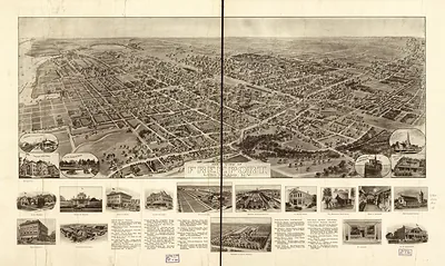
Freeport, New York, 1925 – Antique Map Print

(Originally scanned by the Library of Congress. Each image is professionally and digitally cleaned of artifacts such as color bars and extra borders prior to printing.)
Description
A window into the past: Freeport, New York, 1925, preserved in this antique map. An authentic image from the Library of Congress, it carries the weight of the real historical record.
Library of Congress record: Freeport, L.I., 1925, N.Y.
Order it framed and ready to hang, or unframed to match a frame you already love. A conversation-starting piece for home, office, or as a meaningful gift. Free shipping in the lower 48 states. Since 2001, Snapshots of the Past has shipped historic prints to tens of thousands of customers around the world.
Freeport, New York, 1925
Order a print
Thank you. Your order went through, and a receipt is on its way by email.
Secure checkout · SSL encryptedPowered by Stripe and PayPal
Free shipping in the lower 48 states. The checkout page shows the picture, size and price before you pay.
Freeport, on the south shore of Long Island in Nassau County, looked toward a much busier decade in 1925 than the one before it. The post-World War I building boom and the spread of automobiles were pushing homes, stores, and new subdivisions out from the village toward the bay and the farm fields inland. Hempstead Bay still supported its clammers and fishing boats, but by the mid-1920s many residents earned their living from commuting to Brooklyn and Manhattan or from jobs in the growing shops along the main roads. Across the county, Roosevelt Field in Garden City had become one of the best-known airfields on Long Island, so the air age was a new sight for people in the south shore villages.
| Created / published | 1925 |
|---|---|
| Creator | cinquin, rene, metropolitan aero-view co |
| Notes | Bird's-eye view map. |
| Subjects | Panoramic maps--New York |
| Source | Library of Congress, Panoramic Maps |
| Original scan | 10,800 × 6,992 px · prints to 36 × 23 in at 300 dpi |
| Library of Congress title | Freeport, L.I., 1925, N.Y. |
| Reference | NY Freeport 1925 |
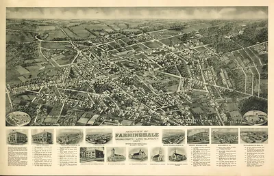
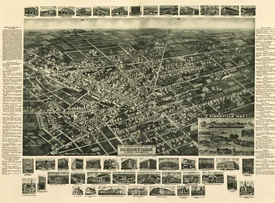
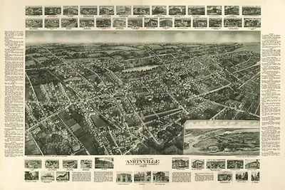
More from the Panoramic Maps collection
Snapshots of the Past helps heritage brands, museums, historians and storytellers tell stories with history: historic prints, image licensing and historical storytelling drawn from more than 25 years of research and curation.