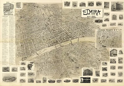
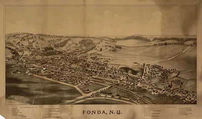
Famingdale, New York, 1925 – Vintage Map Wall Art

(Originally scanned by the Library of Congress. Each image is professionally and digitally cleaned of artifacts such as color bars and extra borders prior to printing.)
Description
Step back in time with Famingdale, New York, 1925, an antique map rich in period detail. It comes from the collections of the Library of Congress, scanned from the original and carefully restored.
Library of Congress record: Aero-view of Farmingdale, Nassau County, Long Island, N.Y. 1925
Framed, it is ready for the wall; unframed, it is ready for the frame you choose. It makes a striking addition to a living room, study or office, and a thoughtful gift. Free shipping in the lower 48 states. Snapshots of the Past has been bringing history to the wall since 2001, for tens of thousands of customers worldwide.
Famingdale, New York, 1925
Order a print
Thank you. Your order went through, and a receipt is on its way by email.
Secure checkout · SSL encryptedPowered by Stripe and PayPal
Free shipping in the lower 48 states. The checkout page shows the picture, size and price before you pay.
Farmingdale, on the south shore of Long Island in Nassau County, was a railroad village in 1925, with the Long Island Rail Road linking it to Manhattan and to the farm and resort towns farther east. Poultry and truck farming shaped much of the local economy, and the surrounding fields supplied produce and eggs to city markets. The village also hosted a state agricultural school, which gave the community a connection to scientific farming that set it apart from its neighbors. Nearby Garden City and its airfield at Roosevelt Field were already drawing attention to aviation, a sign of the changes that would reach the village in the years ahead.
| Created / published | 1925 |
|---|---|
| Creator | cinquin, rene, metropolitan aero-view co |
| Notes | Bird's-eye view map. |
| Subjects | Panoramic maps--New York |
| Source | Library of Congress, Panoramic Maps |
| Original scan | 10,720 × 6,912 px · prints to 36 × 23 in at 300 dpi |
| Library of Congress title | Aero-view of Farmingdale, Nassau County, Long Island, N.Y. 1925 |
| Reference | NY Famingdale 1925 |
More from the Panoramic Maps collection
Snapshots of the Past helps heritage brands, museums, historians and storytellers tell stories with history: historic prints, image licensing and historical storytelling drawn from more than 25 years of research and curation.