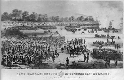
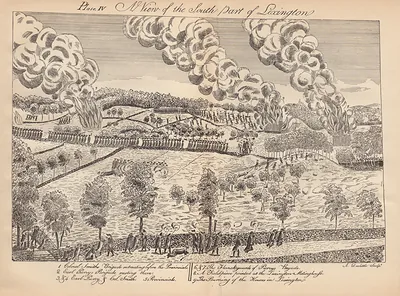
Concord Wright Tavern, Massachusetts – Antique Wall Map

(Each image is professionally and digitally cleaned of artifacts such as color bars and extra borders prior to printing.)
Description
Concord Wright Tavern, Massachusetts comes to life in this antique map, reproduced from the original with every detail intact. It is part of the Snapshots of the Past archive, gathered over 25 years of research.
The framed print arrives ready to hang; the unframed option suits custom framing. A conversation-starting piece for home, office, or as a meaningful gift. Free shipping in the lower 48 states. Snapshots of the Past has been bringing history to the wall since 2001, for tens of thousands of customers worldwide.
Concord Wright Tavern, Massachusetts
Order a print
Thank you. Your order went through, and a receipt is on its way by email.
Secure checkout · SSL encryptedPowered by Stripe and PayPal
Free shipping in the lower 48 states. The checkout page shows the picture, size and price before you pay.
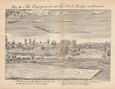
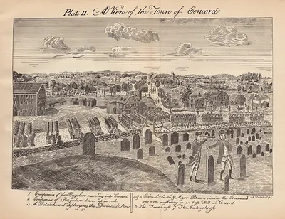
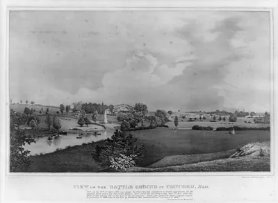
Wright Tavern stood in the center of Concord, Massachusetts, a short walk from the North Bridge over the Concord River. On the morning of April 19, 1775, British officers reportedly made the tavern a temporary headquarters and took breakfast there before the troops pushed on toward Concord and Lexington. Concord was then a farming town and the seat of Middlesex County, with trade moving along the roads to Boston and to the mills on the river. By the time this bird's-eye view was made, the tavern had become one of the town's best-known landmarks, pointed out to visitors as the place where the Revolution's opening day came close to ordinary village life.
| Notes | Bird's-eye view map. |
|---|---|
| Subjects | Panoramic maps--Massachusetts |
| Original scan | 8,858 × 6,600 px · prints to 30 × 22 in at 300 dpi |
| Reference | MA Concord Wright Tavern |
More from the Panoramic Maps collection
Snapshots of the Past helps heritage brands, museums, historians and storytellers tell stories with history: historic prints, image licensing and historical storytelling drawn from more than 25 years of research and curation.