Concord, Massachusetts, 1775 – Vintage Map Wall Art

(Each image is professionally and digitally cleaned of artifacts such as color bars and extra borders prior to printing.)
Description
Step back in time with Concord, Massachusetts, 1775, an antique map rich in period detail. Drawn from the Snapshots of the Past archive, it is an authentic piece of documented history.
Order it framed and ready to hang, or unframed to match a frame you already love. A conversation-starting piece for home, office, or as a meaningful gift. Free shipping in the lower 48 states. Snapshots of the Past, founded in 2001, has served tens of thousands of customers worldwide.
Concord, Massachusetts, 1775
Order a print
Thank you. Your order went through, and a receipt is on its way by email.
Secure checkout · SSL encryptedPowered by Stripe and PayPal
Free shipping in the lower 48 states. The checkout page shows the picture, size and price before you pay.
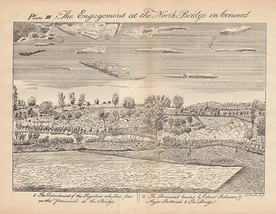
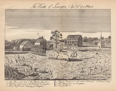
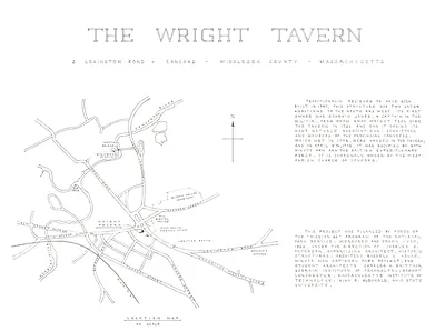
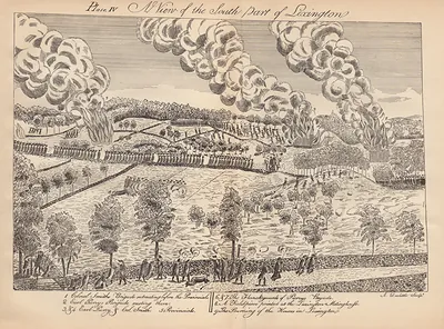
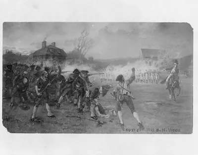
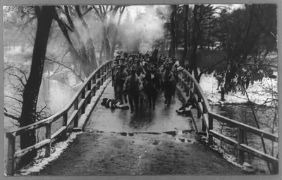
Concord, Massachusetts, in 1775 was a farming and milling town on the Concord River, about 20 miles northwest of Boston, and it was one of Middlesex County's shire towns. That winter the Provincial Congress met there, and colonial leaders stored powder, cannon, and food in the town, beyond the reach of the British garrison in Boston. On April 19, 1775, British regulars marched out to seize those stores. Militia from Concord and neighboring towns confronted them at the North Bridge, and the troops began their retreat toward Boston under fire from farmers and minutemen along the road. Residents who lived through that day knew Concord as the place where organized armed resistance to Britain had taken shape.
| Created / published | 1775 |
|---|---|
| Notes | Bird's-eye view map. |
| Subjects | Panoramic maps--Massachusetts |
| Original scan | 8,134 × 6,252 px · prints to 27 × 21 in at 300 dpi |
| Reference | MA Concord 1775 |
More from the Panoramic Maps collection
Snapshots of the Past helps heritage brands, museums, historians and storytellers tell stories with history: historic prints, image licensing and historical storytelling drawn from more than 25 years of research and curation.