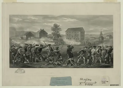
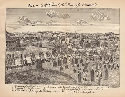
Battle of Lexington, Massachusetts, 1775 – Historic Map Reproduction

(Each image is professionally and digitally cleaned of artifacts such as color bars and extra borders prior to printing.)
Description
This rare antique map captures Battle of Lexington, Massachusetts, 1775 in remarkable detail. Drawn from the Snapshots of the Past archive, it is an authentic piece of documented history.
Framed, it is ready for the wall; unframed, it is ready for the frame you choose. It brings character to any room and makes a memorable gift. Free shipping in the lower 48 states. Snapshots of the Past has been bringing history to the wall since 2001, for tens of thousands of customers worldwide.
Battle of Lexington, Massachusetts, 1775
Order a print
Thank you. Your order went through, and a receipt is on its way by email.
Secure checkout · SSL encryptedPowered by Stripe and PayPal
Free shipping in the lower 48 states. The checkout page shows the picture, size and price before you pay.
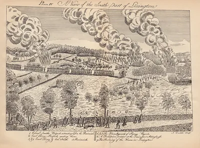
In 1775 Lexington was a Middlesex County farming town whose fields, pastures, and small shops supported most of its households. The meetinghouse and the common were the center of town business, and the parsonage of the Reverend Jonas Clarke had become a meeting place for Patriot leaders, where John Hancock and Samuel Adams were staying that April. The town had felt the strain of the political crisis since Parliament's Boston Port Act closed the harbor and British troops under General Thomas Gage occupied the city. Farmers worried about supplies and trade, while young men drilled on the green with local militia companies. This bird's-eye view shows the town as its residents knew it in the tense months before the war reached their doorsteps.
| Created / published | 1775 |
|---|---|
| Notes | Bird's-eye view map. |
| Subjects | Panoramic maps--Massachusetts |
| Original scan | 8,142 × 6,414 px · prints to 27 × 21 in at 300 dpi |
| Reference | MA Battle of Lexington 1775 |
More from the Panoramic Maps collection
Snapshots of the Past helps heritage brands, museums, historians and storytellers tell stories with history: historic prints, image licensing and historical storytelling drawn from more than 25 years of research and curation.