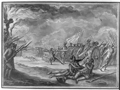
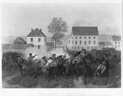
battle of lexington harpers, Massachusetts – Historic Map Reproduction

(Each image is professionally and digitally cleaned of artifacts such as color bars and extra borders prior to printing.)
Description
Battle of lexington harpers, Massachusetts comes to life in this antique map, reproduced from the original with every detail intact. It comes from the Snapshots of the Past collection, curated over 25 years for its historical value.
Choose the framed print, ready to hang the day it arrives, or the unframed print for a frame of your own. A fine choice for anyone who loves history, and a gift that gets noticed. Free shipping in the lower 48 states. Since 2001, Snapshots of the Past has shipped historic prints to tens of thousands of customers around the world.
battle of lexington harpers, Massachusetts
Order a print
Thank you. Your order went through, and a receipt is on its way by email.
Secure checkout · SSL encryptedPowered by Stripe and PayPal
Free shipping in the lower 48 states. The checkout page shows the picture, size and price before you pay.
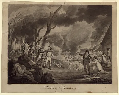
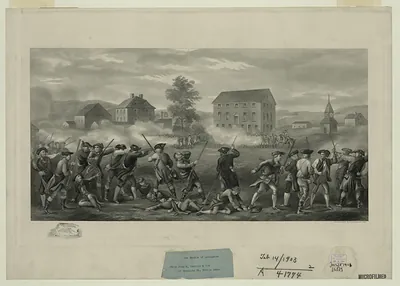
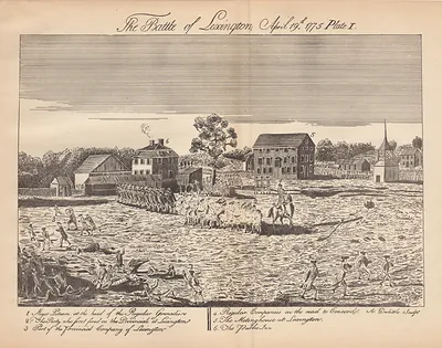
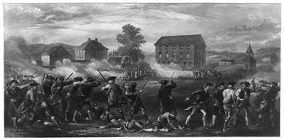
Lexington, Massachusetts, a Middlesex County farming town about ten miles northwest of Boston, is the setting for this view of the 1775 battle that opened the Revolutionary War on April 19. By the 1870s, when illustrations like this were popular, the town was still largely agricultural, but its rail connections to Boston were drawing commuters and summer visitors, and local residents increasingly treated the Battle Green as a civic symbol. The centennial brought ceremonies, speeches, and large crowds to the common, and the town's identity as the place where the first shots of the Revolution were fired was becoming central to how Lexington presented itself. The picture reflects that moment, when a rural community was looking back on its role in the nation's founding.
| Notes | Bird's-eye view map. |
|---|---|
| Subjects | Panoramic maps--Massachusetts |
| Original scan | 1,546 × 913 px · prints to 5 × 3 in at 300 dpi |
| Reference | battle of lexington harpers |
More from the Panoramic Maps collection
Snapshots of the Past helps heritage brands, museums, historians and storytellers tell stories with history: historic prints, image licensing and historical storytelling drawn from more than 25 years of research and curation.