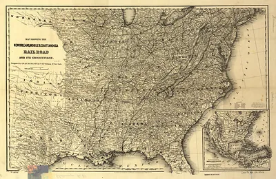
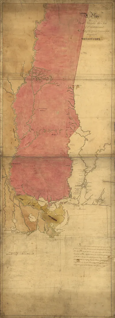
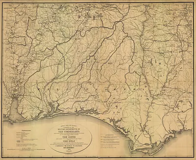
rr 004760 Map showing the line of the New Orleans, Alabama – Historic Map Reproduction

(Each image is professionally and digitally cleaned of artifacts such as color bars and extra borders prior to printing.)
Description
This antique map of rr 004760 Map showing the line of the New Orleans, Alabama brings a moment of history to your wall. Drawn from the Snapshots of the Past archive, it is an authentic piece of documented history.
Framed, it is ready for the wall; unframed, it is ready for the frame you choose. It makes a striking addition to a living room, study or office, and a thoughtful gift. Free shipping in the lower 48 states. Snapshots of the Past has been bringing history to the wall since 2001, for tens of thousands of customers worldwide.
rr 004760 Map showing the line of the New Orleans, Alabama
Order a print
Thank you. Your order went through, and a receipt is on its way by email.
Secure checkout · SSL encryptedPowered by Stripe and PayPal
Free shipping in the lower 48 states. The checkout page shows the picture, size and price before you pay.
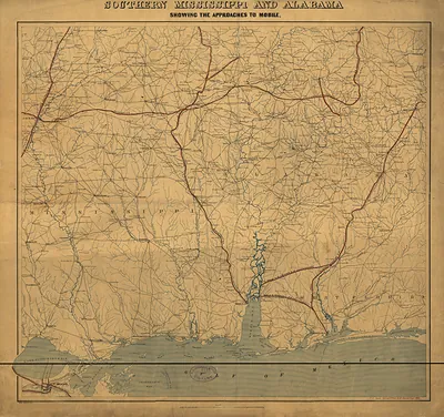
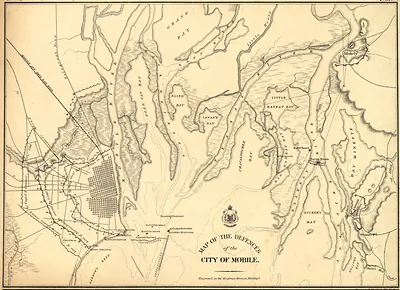
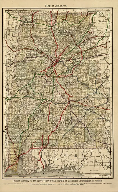
This map shows a rail line tied to the New Orleans, Alabama, and Chattanooga corridor in the decades after the Civil War, when Alabama was rebuilding its railroads and rebuilding its economy. Mobile, the state's only seaport, depended on cotton shipped from the interior, and rail lines like this one were meant to carry that cotton and timber to the Gulf more efficiently than river steamboats and wagons could. Across the state, Reconstruction-era investors pushed new track through farm country and mining districts, and towns that sat on a line grew while those bypassed by it often stalled. The sharpest change came in the 1880s, when coal and iron fields around Birmingham drew capital and workers, and the railroads that served them became central to Alabama's industrial future.
| Notes | Bird's-eye view map. |
|---|---|
| Subjects | Panoramic maps--Alabama |
| Original scan | 5,914 × 6,305 px · prints to 20 × 21 in at 300 dpi |
| Reference | rr004760 Map showing the line of the New Orleans |
More from the Panoramic Maps collection
Snapshots of the Past helps heritage brands, museums, historians and storytellers tell stories with history: historic prints, image licensing and historical storytelling drawn from more than 25 years of research and curation.