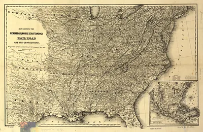
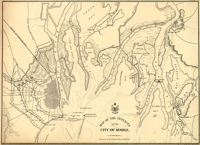
Tallahassee, Florida, west to Mobile, Alabama, and the Gulf coast north to Montgomery, Alabama, Alabama, 1863 – Historic Map Reproduction

(Each image is professionally and digitally cleaned of artifacts such as color bars and extra borders prior to printing.)
Description
Tallahassee, Florida, west to Mobile, Alabama, and the Gulf coast north to Montgomery, Alabama, Alabama, 1863 comes to life in this antique map, reproduced from the original with every detail intact. Drawn from the Snapshots of the Past archive, it is an authentic piece of documented history.
Framed, it is ready for the wall; unframed, it is ready for the frame you choose. It brings character to any room and makes a memorable gift. Free shipping in the lower 48 states. Snapshots of the Past has been bringing history to the wall since 2001, for tens of thousands of customers worldwide.
Tallahassee, Florida, west to Mobile, Alabama, and the Gulf coast north to Montgomery, Alabama, Alabama, 1863
Order a print
Thank you. Your order went through, and a receipt is on its way by email.
Secure checkout · SSL encryptedPowered by Stripe and PayPal
Free shipping in the lower 48 states. The checkout page shows the picture, size and price before you pay.
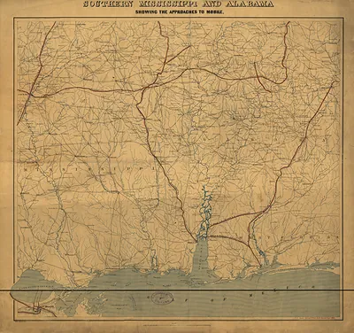
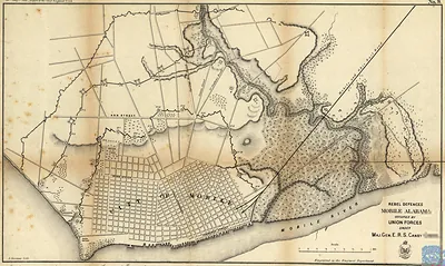
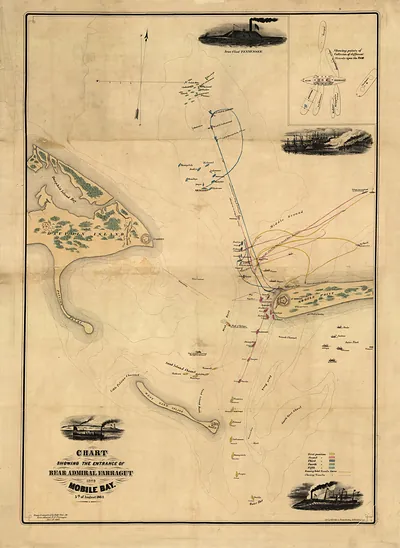
Tallahassee, Florida, and Mobile, Alabama, sat at opposite ends of the Confederate Gulf coast in 1863, and this map shows the ground between them as the Civil War pressed on the region. Mobile was the South's busiest Gulf port, and its cotton, lumber, and rail connections made it a prize that Union naval forces tried to close off with a blockade. Montgomery, farther north on the Alabama River, had been the first capital of the Confederacy before the government moved to Richmond in 1861, so its name still carried political weight. Tallahassee was a planters' town of cotton fields and government offices, and it remained the one Confederate state capital east of the Mississippi that Union armies never captured. For residents, the map would have marked a region where blockade runners, troop movements, and the loss of able-bodied men were changing daily life.
| Created / published | 1863 |
|---|---|
| Notes | Bird's-eye view map. |
| Subjects | Panoramic maps--Alabama |
| Original scan | 13,865 × 11,321 px · prints to 46 × 38 in at 300 dpi |
| Reference | AL-Tallahassee, Florida, west to Mobile, Alabama, and the Gulf coast north to Montgomery, Alabama 1863 |
More from the Panoramic Maps collection
Snapshots of the Past helps heritage brands, museums, historians and storytellers tell stories with history: historic prints, image licensing and historical storytelling drawn from more than 25 years of research and curation.