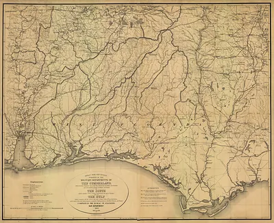
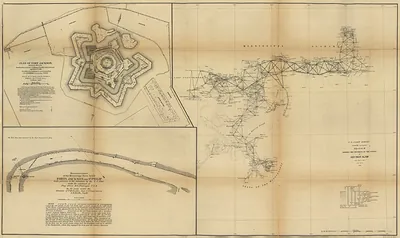
Southern Mississippi and Alabama showing the approaches to Mobile., Alabama, 1863 – Antique Wall Map

(Each image is professionally and digitally cleaned of artifacts such as color bars and extra borders prior to printing.)
Description
Step back in time with Southern Mississippi and Alabama showing the approaches to Mobile., Alabama, 1863, an antique map rich in period detail. Drawn from the Snapshots of the Past archive, it is an authentic piece of documented history.
Framed, it is ready for the wall; unframed, it is ready for the frame you choose. Perfect for a home, office, library or classroom wall, and a gift with a story behind it. Free shipping in the lower 48 states. Snapshots of the Past has been bringing history to the wall since 2001, for tens of thousands of customers worldwide.
Southern Mississippi and Alabama showing the approaches to Mobile., Alabama, 1863
Order a print
Thank you. Your order went through, and a receipt is on its way by email.
Secure checkout · SSL encryptedPowered by Stripe and PayPal
Free shipping in the lower 48 states. The checkout page shows the picture, size and price before you pay.
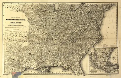
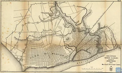
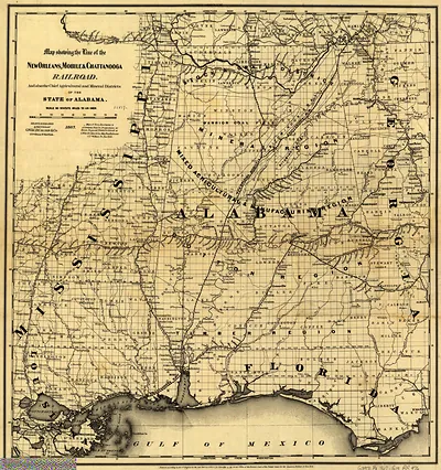
In 1863, Mobile, Alabama, was a Confederate port under Union naval blockade, and the map's view of the bay, rivers, and land approaches to the city reflects how much its wartime life depended on those waterways. Cotton, the region's main export, had once flowed out through the port to European buyers, but by then the blockade had cut most of that trade, and blockade runners slipping past Union warships became a risky source of supplies. Forts guarding the bay entrance, including Fort Morgan on the eastern shore, kept Union vessels at a distance for much of the war. The Mobile and Ohio Railroad carried goods and troops north toward Mississippi and Tennessee, linking the city to the interior that the Confederacy relied on. Residents lived with shortages, military traffic, and the constant expectation of an attack from the water.
| Created / published | 1863 |
|---|---|
| Notes | Bird's-eye view map. |
| Subjects | Panoramic maps--Alabama |
| Original scan | 7,759 × 7,293 px · prints to 26 × 24 in at 300 dpi |
| Reference | AL-Southern Mississippi and Alabama showing the approaches to Mobile. 1863 |
More from the Panoramic Maps collection
Snapshots of the Past helps heritage brands, museums, historians and storytellers tell stories with history: historic prints, image licensing and historical storytelling drawn from more than 25 years of research and curation.