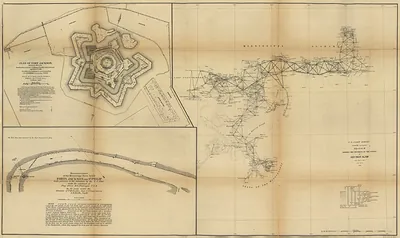
Map of the defences of the city of Mobile 1862 64, Alabama – Historic Map Reproduction

(Each image is professionally and digitally cleaned of artifacts such as color bars and extra borders prior to printing.)
Description
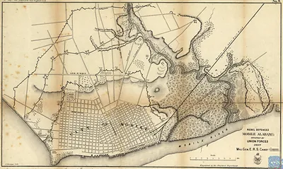
Map of the defences of the city of Mobile 1862 64, Alabama comes to life in this antique map, reproduced from the original with every detail intact. It comes from the Snapshots of the Past collection, curated over 25 years for its historical value.
Choose the framed print, ready to hang the day it arrives, or the unframed print for a frame of your own. A conversation-starting piece for home, office, or as a meaningful gift. Free shipping in the lower 48 states. Snapshots of the Past has been bringing history to the wall since 2001, for tens of thousands of customers worldwide.
Map of the defences of the city of Mobile 1862 64, Alabama
Order a print
Thank you. Your order went through, and a receipt is on its way by email.
Secure checkout · SSL encryptedPowered by Stripe and PayPal
Free shipping in the lower 48 states. The checkout page shows the picture, size and price before you pay.
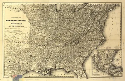
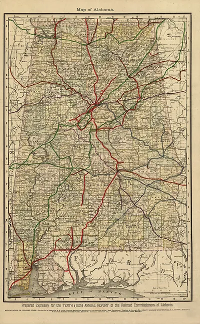
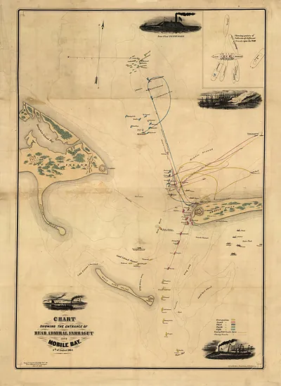
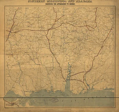
Mobile, Alabama, in 1862 to 1864 was a Gulf port whose cotton exports and rail links to the interior made it a prize for both armies. Confederate engineers built a ring of earthworks and forts around the city's landward side, while Forts Morgan, Gaines, and Powell guarded the entrance to Mobile Bay. The Union naval blockade tightened over these years, and in August 1864 Admiral David Farragut's fleet forced its way into the bay, breaking the port's outer defenses. Residents of a city of roughly 30,000 before the war lived with shortages and the daily sound of drilling troops. The works shown here were the last major barrier before Union forces took Mobile in April 1865.
| Notes | Bird's-eye view map. |
|---|---|
| Subjects | Panoramic maps--Alabama |
| Original scan | 1,858 × 1,348 px · prints to 6 × 4 in at 300 dpi |
| Reference | AL-Map of the defences of the city of Mobile 1862-64 |
More from the Panoramic Maps collection
Snapshots of the Past helps heritage brands, museums, historians and storytellers tell stories with history: historic prints, image licensing and historical storytelling drawn from more than 25 years of research and curation.