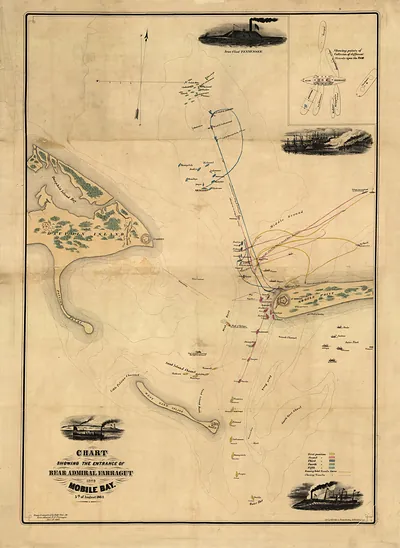
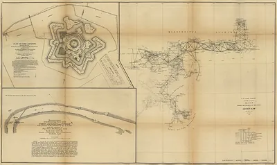
Map of Alabama., Alabama, 1888 – Vintage Map Wall Art

(Each image is professionally and digitally cleaned of artifacts such as color bars and extra borders prior to printing.)
Description
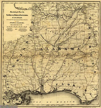
A window into the past: Map of Alabama., Alabama, 1888, preserved in this antique map. Drawn from the Snapshots of the Past archive, it is an authentic piece of documented history.
Order it framed and ready to hang, or unframed to match a frame you already love. Perfect for a home, office, library or classroom wall, and a gift with a story behind it. Free shipping in the lower 48 states. Since 2001, Snapshots of the Past has shipped historic prints to tens of thousands of customers around the world.
Map of Alabama., Alabama, 1888
Order a print
Thank you. Your order went through, and a receipt is on its way by email.
Secure checkout · SSL encryptedPowered by Stripe and PayPal
Free shipping in the lower 48 states. The checkout page shows the picture, size and price before you pay.
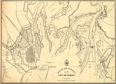
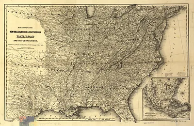
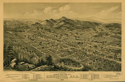
Alabama in 1888 was still a cotton state, with plantations and tenant farms across the Black Belt and the Tennessee Valley supplying crops that moved out through Mobile and the river towns. The most striking change lay in the north-central hills, where Birmingham, founded in 1871 along the railroad, had grown into an iron and steel center fed by coal and limestone from the surrounding fields. Montgomery remained the seat of state government, and Mobile's harbor on Mobile Bay handled the export trade. Railroads, including the Louisville and Nashville, linked these towns and carried coal, ore, and timber to market. Residents would have known the state for its cotton economy and its fast-rising mining and manufacturing towns, which drew workers from farms across the South.
| Created / published | 1888 |
|---|---|
| Notes | Bird's-eye view map. |
| Subjects | Panoramic maps--Alabama |
| Original scan | 4,032 × 6,512 px · prints to 13 × 22 in at 300 dpi |
| Reference | AL-Map of Alabama. 1888 |
More from the Panoramic Maps collection
Snapshots of the Past helps heritage brands, museums, historians and storytellers tell stories with history: historic prints, image licensing and historical storytelling drawn from more than 25 years of research and curation.