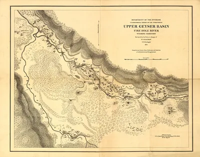
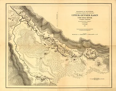
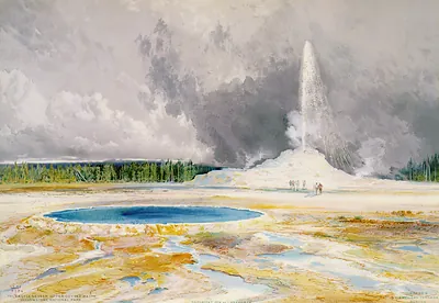
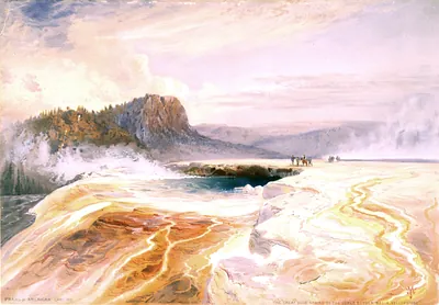
Map of the Lower Geyser Basin of the Upper Madison River – Historic Map Reproduction

(Each image is professionally and digitally cleaned of artifacts such as color bars and extra borders prior to printing.)
Description
Step back in time with Map of the Lower Geyser Basin of the Upper Madison River, an antique map rich in period detail. It comes from the Snapshots of the Past collection, curated over 25 years for its historical value.
Order it framed and ready to hang, or unframed to match a frame you already love. A fine choice for anyone who loves history, and a gift that gets noticed. Free shipping in the lower 48 states. Snapshots of the Past has been bringing history to the wall since 2001, for tens of thousands of customers worldwide.
Map of the Lower Geyser Basin of the Upper Madison River
Order a print
Thank you. Your order went through, and a receipt is on its way by email.
Secure checkout · SSL encryptedPowered by Stripe and PayPal
Free shipping in the lower 48 states. The checkout page shows the picture, size and price before you pay.
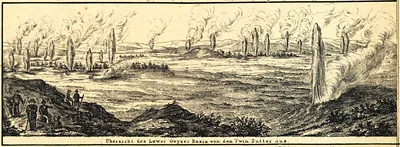
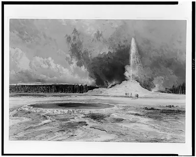
Few maps from this period show the Lower Geyser Basin with such detail: its hot springs, geysers, and paint pots are plotted along the Firehole and upper Madison rivers. The sheet dates to 1872, the year Congress set aside the Yellowstone region as the first national park in the United States. It was produced in the wake of Ferdinand V. Hayden's federal survey expeditions of the early 1870s, whose surveyors and artists were among the first to record the area in systematic detail. Those surveys did much to shape how the public imagined Yellowstone, and the map remains a useful record of the basin as it was first charted.
| Created / published | 1872 |
|---|---|
| Original scan | 10,528 × 6,736 px · prints to 35 × 22 in at 300 dpi |
| Reference | ye000011 Map of the Lower Geyser Basin of the Upper Madison River. 1872 |
More from the Yellowstone collection
Snapshots of the Past helps heritage brands, museums, historians and storytellers tell stories with history: historic prints, image licensing and historical storytelling drawn from more than 25 years of research and curation.