DC Washington 1892 MAP – Antique Wall Map

(Each image is professionally and digitally cleaned of artifacts such as color bars and extra borders prior to printing.)
Description
This rare antique map captures DC Washington 1892 MAP in remarkable detail. It is part of the Snapshots of the Past archive, gathered over 25 years of research.
Order it framed and ready to hang, or unframed to match a frame you already love. A conversation-starting piece for home, office, or as a meaningful gift. Free shipping in the lower 48 states. Snapshots of the Past has been bringing history to the wall since 2001, for tens of thousands of customers worldwide.
DC Washington 1892 MAP
Order a print
Thank you. Your order went through, and a receipt is on its way by email.
Secure checkout · SSL encryptedPowered by Stripe and PayPal
Free shipping in the lower 48 states. The checkout page shows the picture, size and price before you pay.
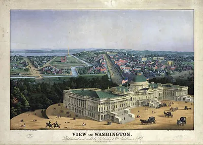
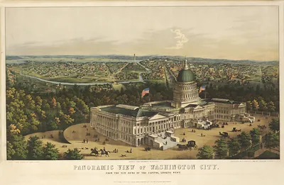
An 1892 map of the District of Columbia places the Washington Monument in its finished setting, eight years after the obelisk was completed in 1884 and dedicated in 1885. Construction had stalled in 1854 at about 152 meters, and work did not resume until 1876, when the Army Corps of Engineers took over. Maps from this period show how the monument anchors the long open axis of the National Mall, with the city's avenues and federal buildings laid out around it. Its scale and street grid make it useful for seeing how the capital looked when the monument had only recently become a public site.
| Original scan | 1,534 × 1,073 px · prints to 5 × 4 in at 300 dpi |
|---|---|
| Reference | DC-Washington-1892 |
More from the Washington Monument collection
Snapshots of the Past helps heritage brands, museums, historians and storytellers tell stories with history: historic prints, image licensing and historical storytelling drawn from more than 25 years of research and curation.