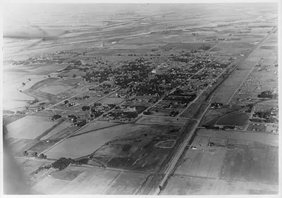
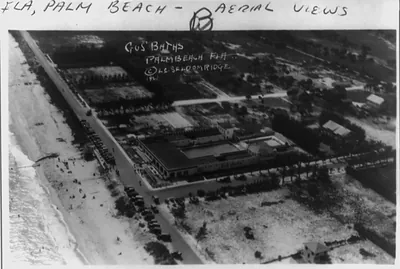
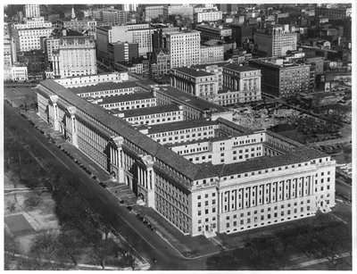
Aerial view of Wichita, Kansas. 1926(?) – Antique Photo Print

(Originally scanned by the Library of Congress. Each image is professionally and digitally cleaned of artifacts such as color bars and extra borders prior to printing.)
Description
Step back in time with Aerial view of Wichita, Kansas. 1926(?), a historic photograph rich in period detail. Sourced directly from the Library of Congress, it represents an authentic piece of documented history.
Framed, it is ready for the wall; unframed, it is ready for the frame you choose. Perfect for a home, office, library or classroom wall, and a gift with a story behind it. Free shipping in the lower 48 states. Since 2001, Snapshots of the Past has shipped historic prints to tens of thousands of customers around the world.
Aerial view of Wichita, Kansas. 1926(?)
Order a print
Thank you. Your order went through, and a receipt is on its way by email.
Secure checkout · SSL encryptedPowered by Stripe and PayPal
Free shipping in the lower 48 states. The checkout page shows the picture, size and price before you pay.
This view of Wichita, Kansas, is one of the city's bird's-eye photographs from about 1926, a date the caption card gives with a question mark. Commercial aerial photographers of that era flew over towns in open planes and sold the prints to local residents and businesses, so the picture was probably made as much for civic pride as for record-keeping. Wichita was growing quickly in the 1920s, as oil production in the region and an emerging aircraft industry drew people and investment to the city where the Arkansas and Little Arkansas Rivers meet. The photograph is worth studying for its street grid, rail lines and building density, which show the city's layout before the wider sprawl of later decades.
| Created / published | c1926 Oct. 18. |
|---|---|
| Medium | 1 photographic print. |
| Notes | J285645 U.S. Copyright Office Photo copyrighted by Edgar B. Smith. No. 1005. This record contains unverified, old data from caption card. Caption card tracings: Ph. Ind.; Geogr. |
| Source | Library of Congress, Prints and Photographs Division |
| Original scan | 1,536 × 1,222 px · prints to 5 × 4 in at 300 dpi |
| Reference | AMZ-SOTP-HPA-147741 |
More from the Historic Print Archive collection
Snapshots of the Past helps heritage brands, museums, historians and storytellers tell stories with history: historic prints, image licensing and historical storytelling drawn from more than 25 years of research and curation.