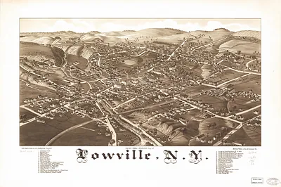
Lindenhurt, New York, 1926 – Historic Map Reproduction

(Originally scanned by the Library of Congress. Each image is professionally and digitally cleaned of artifacts such as color bars and extra borders prior to printing.)
Description
This rare antique map captures Lindenhurt, New York, 1926 in remarkable detail. Sourced directly from the Library of Congress, it represents an authentic piece of documented history.
Library of Congress record: Aero-view of Lindenhurst, Long Island, 1926, New York
Choose the framed print, ready to hang the day it arrives, or the unframed print for a frame of your own. It makes a striking addition to a living room, study or office, and a thoughtful gift. Free shipping in the lower 48 states. Snapshots of the Past has been bringing history to the wall since 2001, for tens of thousands of customers worldwide.
Lindenhurt, New York, 1926
Order a print
Thank you. Your order went through, and a receipt is on its way by email.
Secure checkout · SSL encryptedPowered by Stripe and PayPal
Free shipping in the lower 48 states. The checkout page shows the picture, size and price before you pay.
Lindenhurst, on the south shore of Long Island, was a small village in 1926 whose economy still rested on the land and the bay. Truck farming on the sandy soil and fishing and clamming on the Great South Bay employed many families, and the Long Island Rail Road gave local produce and residents a link to Brooklyn and New York City. The 1920s brought automobiles and new roads, and summer cottages and year-round homes began to fill former farm lots, so the village was slowly shifting from a farming community toward a commuter and resort town. Local life centered on churches, volunteer fire companies, and the railroad depot, where the arrival of trains marked the day.
| Created / published | 1926 |
|---|---|
| Creator | cinquin, rene, metropolitan aero-view co |
| Notes | Bird's-eye view map. |
| Subjects | Panoramic maps--New York |
| Source | Library of Congress, Panoramic Maps |
| Original scan | 10,805 × 8,512 px · prints to 36 × 28 in at 300 dpi |
| Library of Congress title | Aero-view of Lindenhurst, Long Island, 1926, New York |
| Reference | NY Lindenhurt 1926 |
More from the Panoramic Maps collection
Snapshots of the Past helps heritage brands, museums, historians and storytellers tell stories with history: historic prints, image licensing and historical storytelling drawn from more than 25 years of research and curation.