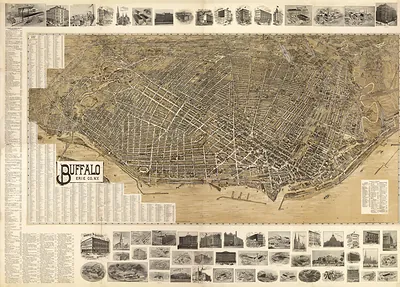
Buffalo Pan American Exposition, New York, 1901 – Vintage Map Wall Art

(Each image is professionally and digitally cleaned of artifacts such as color bars and extra borders prior to printing.)
Description
This rare antique map captures Buffalo Pan American Exposition, New York, 1901 in remarkable detail. It is part of the Snapshots of the Past archive, gathered over 25 years of research.
The framed print arrives ready to hang; the unframed option suits custom framing. It brings character to any room and makes a memorable gift. Free shipping in the lower 48 states. Snapshots of the Past, founded in 2001, has served tens of thousands of customers worldwide.
Buffalo Pan American Exposition, New York, 1901
Order a print
Thank you. Your order went through, and a receipt is on its way by email.
Secure checkout · SSL encryptedPowered by Stripe and PayPal
Free shipping in the lower 48 states. The checkout page shows the picture, size and price before you pay.
Buffalo hosted the Pan-American Exposition from May to November 1901, a world's fair meant to showcase trade and ideas across the Western Hemisphere. The city was then a major grain-milling and lake-shipping port at the eastern end of the Erie Canal, and its industries and rail connections made it a natural host. The fair's Electric Tower was lit by power generated at Niagara Falls, a point visitors and local boosters were proud of. In September, President William McKinley was shot at the fair's Temple of Music and died eight days later, an event that left the exposition in mourning for its final weeks.
| Created / published | 1901 |
|---|---|
| Notes | Bird's-eye view map. |
| Subjects | Panoramic maps--New York |
| Original scan | 3,940 × 1,828 px · prints to 13 × 6 in at 300 dpi |
| Reference | NY Buffalo Pan American Exposition 1901 |
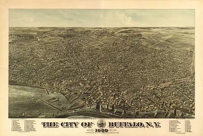
More from the Panoramic Maps collection
Snapshots of the Past helps heritage brands, museums, historians and storytellers tell stories with history: historic prints, image licensing and historical storytelling drawn from more than 25 years of research and curation.