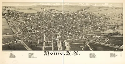
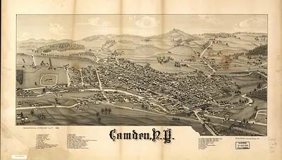
Cambridge, New York, 1886 – Vintage Map Wall Art

(Originally scanned by the Library of Congress. Each image is professionally and digitally cleaned of artifacts such as color bars and extra borders prior to printing.)
Description
This antique map of Cambridge, New York, 1886 brings a moment of history to your wall. Sourced directly from the Library of Congress, it represents an authentic piece of documented history.
Library of Congress record: Cambridge, N.Y. 1886
Order it framed and ready to hang, or unframed to match a frame you already love. A conversation-starting piece for home, office, or as a meaningful gift. Free shipping in the lower 48 states. Since 2001, Snapshots of the Past has shipped historic prints to tens of thousands of customers around the world.
Cambridge, New York, 1886
Order a print
Thank you. Your order went through, and a receipt is on its way by email.
Secure checkout · SSL encryptedPowered by Stripe and PayPal
Free shipping in the lower 48 states. The checkout page shows the picture, size and price before you pay.
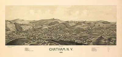
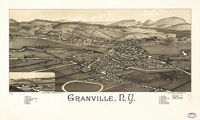
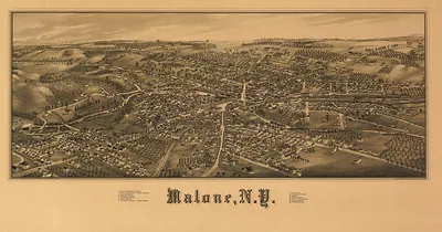
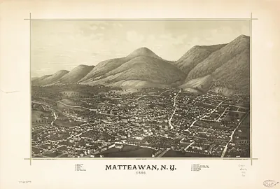
Cambridge, in Washington County, New York, sat in the Battenkill valley in 1886, a farming and mill town whose fortunes rose and fell with the wool, dairy, and grain trade of the surrounding hill country. Water power from the Battenkill drove the mills along its banks, and the village served as a market and shipping point for farmers across the eastern part of the county. Its streets, churches, and commercial blocks reflected a community of merchants, artisans, and rural families who looked to Troy, roughly 25 miles south, for larger markets and newspapers. Burleigh's bird's-eye view records the village as local residents would have known it, with its industries, roads, and rail connections close at hand.
| Created / published | 1886 |
|---|---|
| Creator | burleigh litho, burleigh, l. r. |
| Notes | Bird's-eye view map. |
| Subjects | Panoramic maps--New York |
| Source | Library of Congress, Panoramic Maps |
| Original scan | 8,480 × 5,200 px · prints to 28 × 17 in at 300 dpi |
| Library of Congress title | Cambridge, N.Y. 1886 |
| Reference | NY Cambridge 1886 |
More from the Panoramic Maps collection
Snapshots of the Past helps heritage brands, museums, historians and storytellers tell stories with history: historic prints, image licensing and historical storytelling drawn from more than 25 years of research and curation.